LP360
From £857.73 excl. VAT
LiDAR & photogrammetry 3D point cloud software
LP360 Standalone software handling multiple data sources, any dataset size. Whether it's airborne or terrestrial collected LIDAR data, 3D point clouds have become a critical element in mapping. LP360, an advanced desktop LIDAR software package, makes easy work of extracting information and generating deliverables in an intuitive GIS environment.
Key Features
Desktop LiDAR & Photogrammetry 3D Software
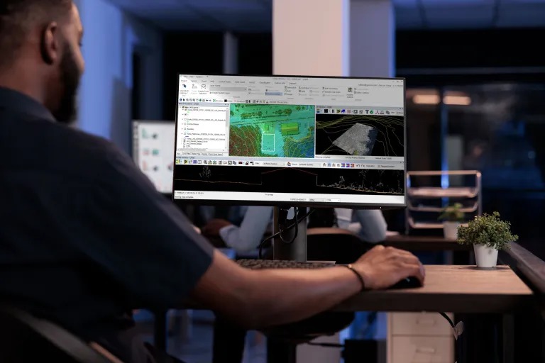
LP360 is an advanced desktop software package that makes easy work of extracting information and generating deliverables in an intuitive GIS environment. With LP360, you can efficiently process and analyze drone survey data to generate valuable insights and outputs, encompassing a comprehensive geospatial workflow that includes visualization, quality assurance, classification, and 3D editing and analysis tools. It simplifies the extraction of relevant information within a user-friendly framework.
Powerful Visualization and Quality Control
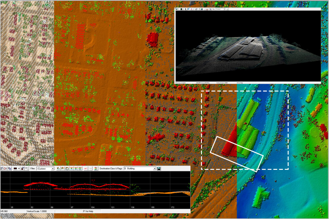
Comprehensive visualization is a core element of analyzing point clouds. Leverage LP360's powerful 3 synchronized viewing windows (2D, 3D, and Profile) and the Image Explorer tool, which allows the selection of images containing any point selected on the point cloud for contextual inspection. QC/QA your data with Automatic Ground Control Detection and 3D Correction to ensure your deliverables meet professional survey standards.

LP360 Cloud: Collaborative GIS
LP360 Cloud is an ever-growing collection of cloud-based tools and resources designed to make it easy for you to manage, archive, share, and collaborate on geospatial projects. Go further with the unique LP360 Cloud Extension to store, search, and stream your data with any LP360 Desktop. Harness the power of the cloud for computer-intensive tasks like Auto AI Ground Classification, which automatically segments bare earth points from objects and vegetation.
Commercial Uses


Specialized Product Lines
LP360 Drone: UAV LiDAR & Photogrammetry Processing
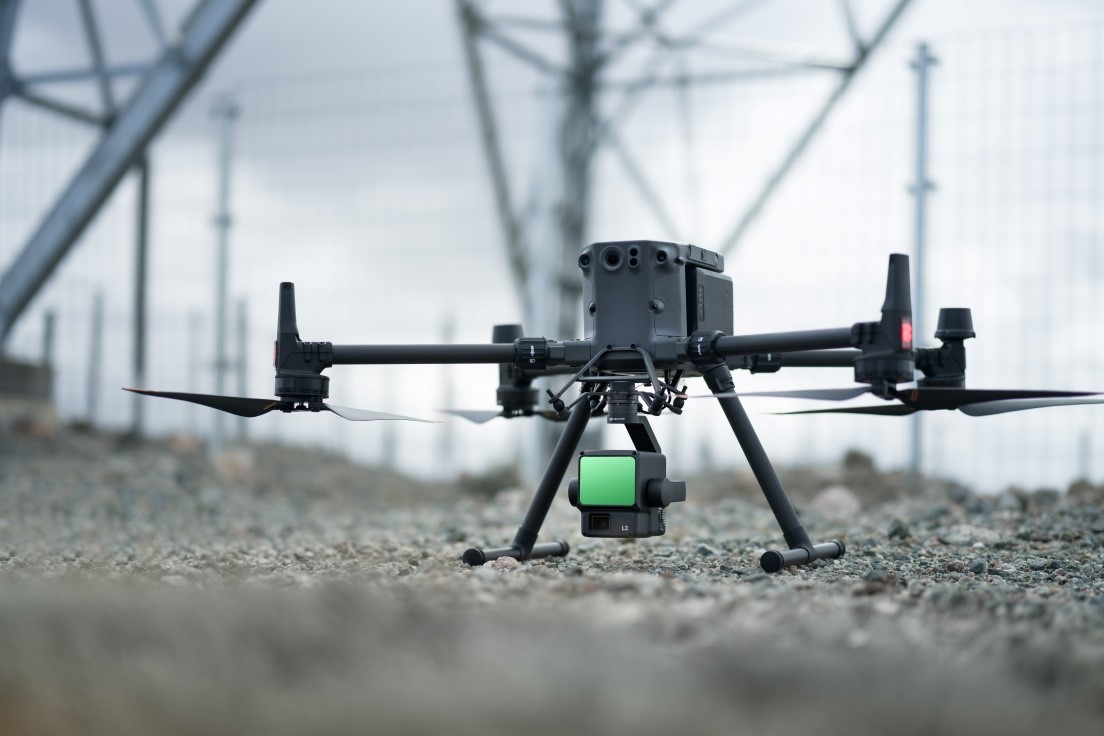
The core product for drone geospatial data workflows. It lets you process, analyze, and maximize your L1 & L2 drone survey data, creating enhanced and highly accurate deliverables without the need to employ other software applications.
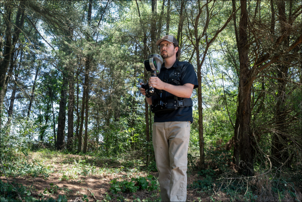
LP360 Land: Handheld & Terrestrial Solutions
A product line containing workflows for processing and exploiting TrueView and other handheld sensor data. It empowers users to transform raw handheld data from LiDAR, GNSS, and SLAM sensors into valuable insights with ease.

LP360 Geospatial: Desktop Enterprise Processing
Optimized for processing data from any aircraft or mobile sensor. It allows users to seamlessly manage and transform terabytes of data, working on projects that consist of tens of thousands of LAS files.
Buy LP360
FAQs
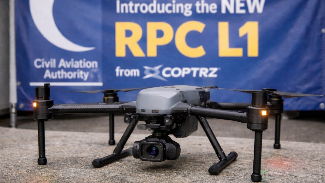
- LP360 Drone: The industry standard for UAV LiDAR (DJI L1/L2, TrueView). It focuses on post-processing raw flight data into georeferenced 3D point clouds.
- LP360 Land: Specifically optimized for handheld and terrestrial SLAM sensors like the TrueView GO. It includes specialized workflows for GPS-denied environments.
- LP360 Geospatial: The enterprise version for large-scale airborne or mobile mapping. It has no project size limits and is built for managing terabytes of data across thousands of LAS files.
For professional processing, the following is recommended:
- Operating System: Windows 10 or 11 Professional (64-bit).
- Processor: Intel i7 or equivalent (more cores lead to faster processing).
- RAM: 16GB minimum (32GB is highly recommended for large datasets).
- Storage: SSD for the primary drive (256GB+) and a secondary drive for data storage.
- Graphics: OpenGL 4.5 compatible card (NVIDIA recommended).
Yes, LP360 typically offers a 30-day trial period. When the trial expires, the software remains functional as a point cloud visualization tool (Viewer Mode), allowing you to open and inspect data without processing capabilities.
LP360 uses a flexible Floating License system. This allows you to install the software on multiple machines and "check out" a license when needed. You can also "Roam" a license, which allows you to use the software offline (e.g., in the field) for up to 30 days without connecting to the license server.
LP360 has an extensive library of coordinate systems and supports datum transformations, epoch changes, and local site calibrations. Note: For 3D and Profile viewing, data should be reprojected into a Projected Coordinate System (like UTM or State Plane) rather than remaining in Geographic (Lat/Long) coordinates.
Strip Align is a powerful add-on that automatically detects and corrects geometric inconsistencies between overlapping flight lines. If you are doing high-precision survey work where flight strips must align perfectly (e.g., hard-surface mapping), Strip Align is an essential tool to ensure data integrity.
LP360 is designed to be the bridge between raw data and your design software. It can export points and surfaces directly into formats compatible with AutoCAD, ArcGIS, and QGIS. This includes the ability to export LandXML files, which are the standard for civil engineering and transportation projects.
Related products
-

Pix4Dmatic
Price range: £0.00 through £5,831.86 Excl. VATPremium Positioning RTK Licence
Price range: £0.00 through £975.00 Excl. VATUltimate Pix4DMapper Bundle
Price range: £0.00 through £5,831.86 Excl. VAT
DJI Modify
Price range: £225.00 through £3,109.00 Excl. VAT


Unlock your business potential with drone technology