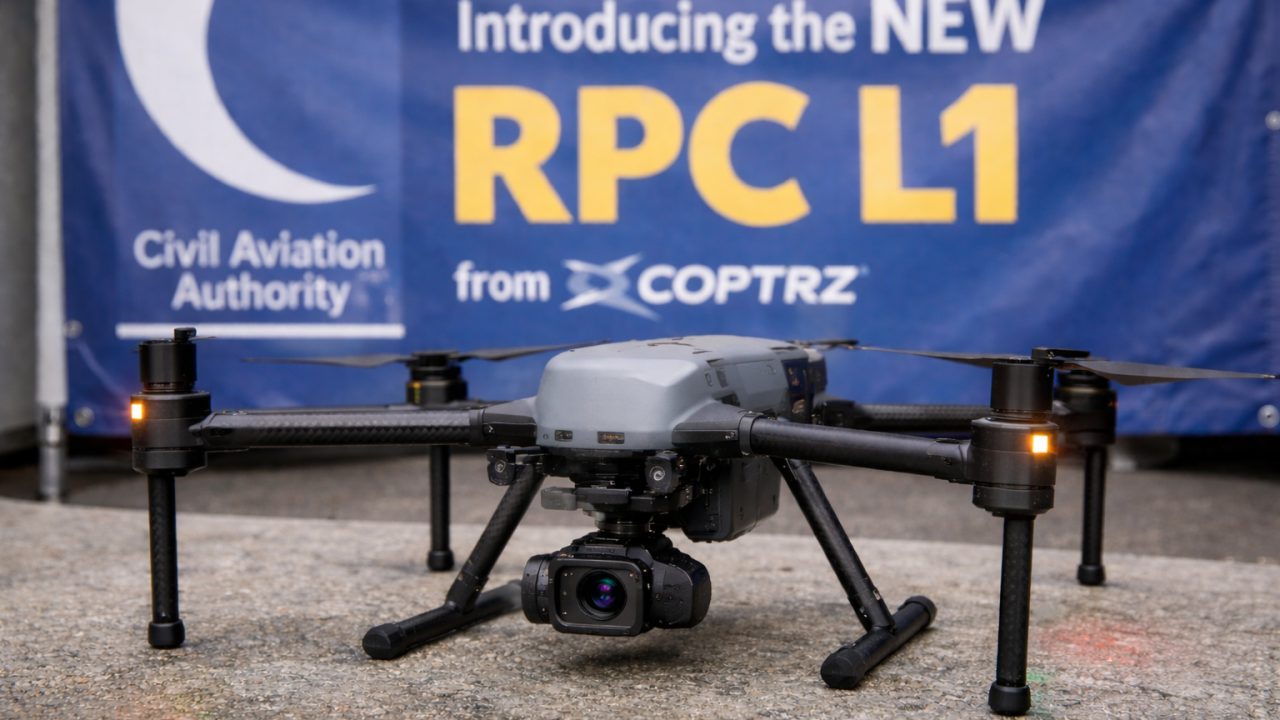
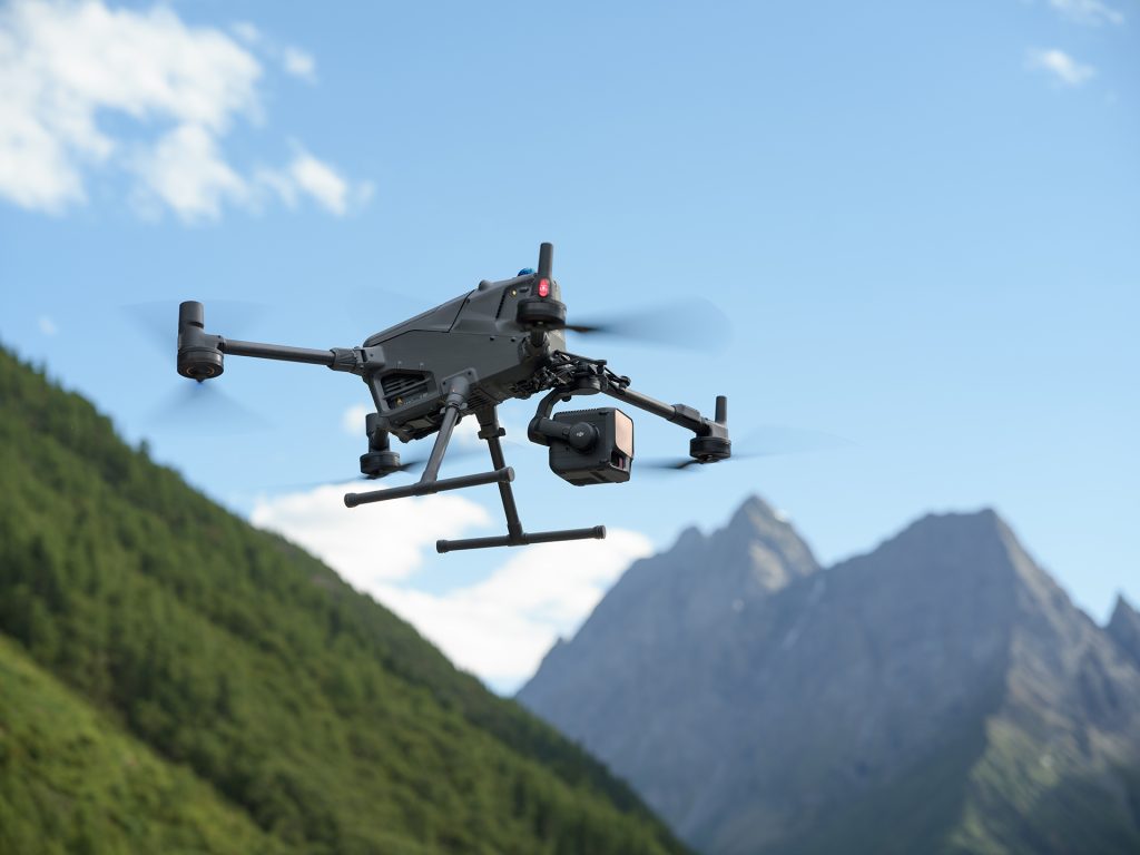
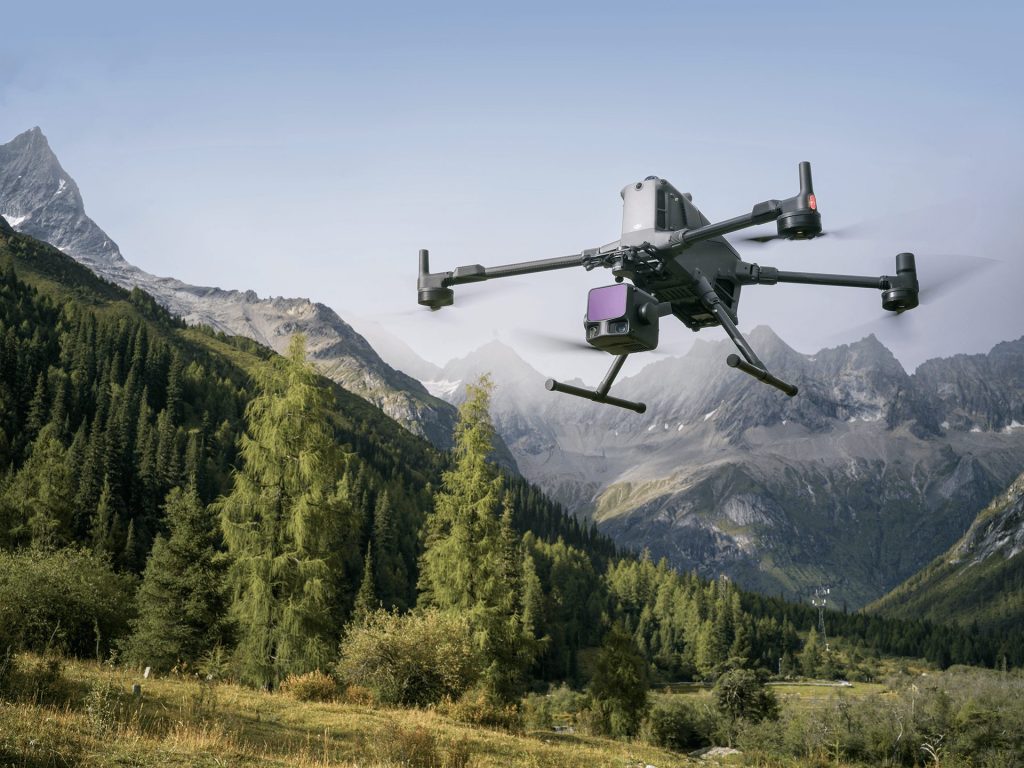
DJI Zenmuse L3
The Worry Free Combo - £10,598.33 excl. VAT
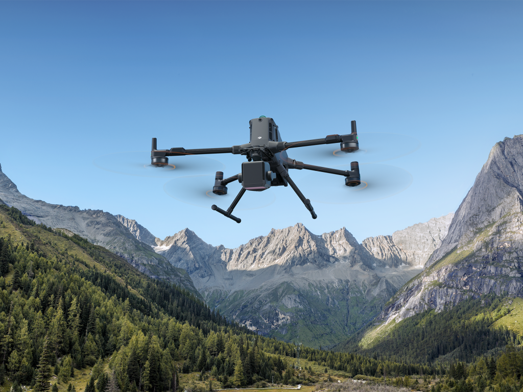
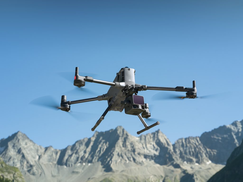
The New Benchmark in LiDAR Performance
The Zenmuse L3 brings together DJI’s most advanced LiDAR, imaging and inertial technologies in one tightly-integrated system. From open-pit mines to transmission towers, it delivers higher precision, greater penetration and wider coverage than any previous generation.
At a Glance:
Practical Range
300–500 m
Maximum Range
950 m (@ 10% reflectivity)
Typical Accuracy
2–4 cm
Laser
1535 nm Class 1 (Max 100 W)
Operating Temp
–25 °C to +55 °C (IP54 Rated)
What’s New vs Previous Generations
Model | Range | Typical Accuracy | IMU Preheating | Camera | Key Upgrade |
|---|---|---|---|---|---|
L1 | 80–100 m | 6–10 cm | Required | Single | First-gen LiDAR |
L2 | 120–180 m | 4–5 cm | None | Single | Free DJI Terra Processing |
L3 | 300–500 m (950 m max) | 2–4 cm | None | Dual 100 MP | Long-range flagship with massive sensor upgrade |
LiDAR System
Extended Range & Accuracy
- 950 m max range (@ 10% reflectivity)
- Horizontal accuracy 5 cm / Vertical 3 cm
- Real-time Z accuracy 15 cm
- Optimised for large-area mapping, mining and infrastructure surveying
Smaller Spot Size = Sharper Detail
- Beam diameter 41 mm @ 120 m (20% of L2 size)
- Divergence 0.25 mrad × 0.25 mrad
- Captures finer details of wires and structures
- Stronger vegetation penetration
Adjustable Point Rate & Multiple Returns
- Point rate up to 2 MHz (100K–2M Hz selectable)
- Up to 16 returns for dense canopy penetration
- Ideal for forestry, archaeology and geological studies
Flexible Scanning Modes
- Linear Repetitive – Highest accuracy
- Star-Shaped – Balanced accuracy & penetration
- Non-Repetitive – Maximum penetration & coverage
High-Precision IMU
- Heading accuracy 0.02° (post-processed)
- Pitch/Roll accuracy 0.01°
- 200 Hz POS refresh rate
- Instant startup – no preheating required
- Automatic calibration during flight for heading and pitch/roll
- Zero manual calibration for manual missions
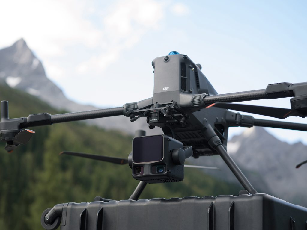
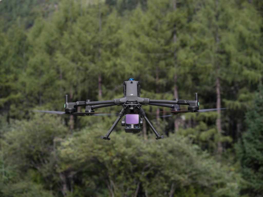
Dual 100 MP Camera System
- Dual Micro 4/3 CMOS sensors (100 MP native / 25 MP fast mode)
- Up to 1.2 cm GSD @ 120 m / 3 cm @ 300 m
- Ultra-wide FOV 107° (27° wider than LiDAR coverage)
- Shooting intervals: 1.0 s (100 MP) / 0.5 s (25 MP)
- 500,000 cycle mechanical shutter
- Strong low-light performance
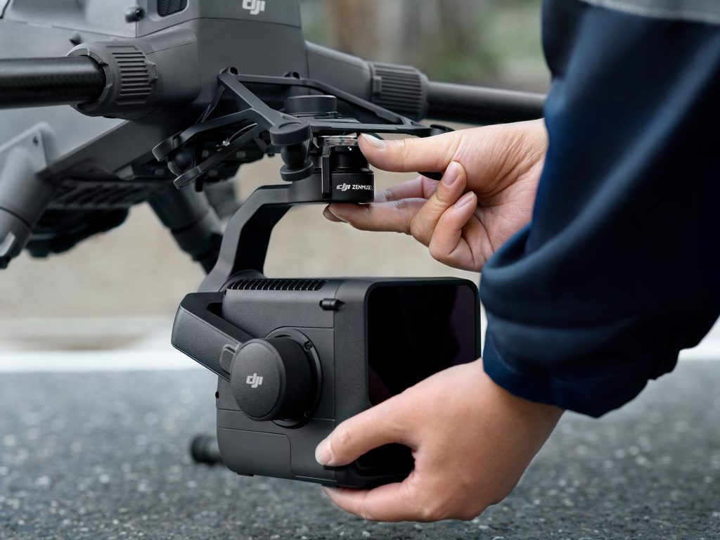
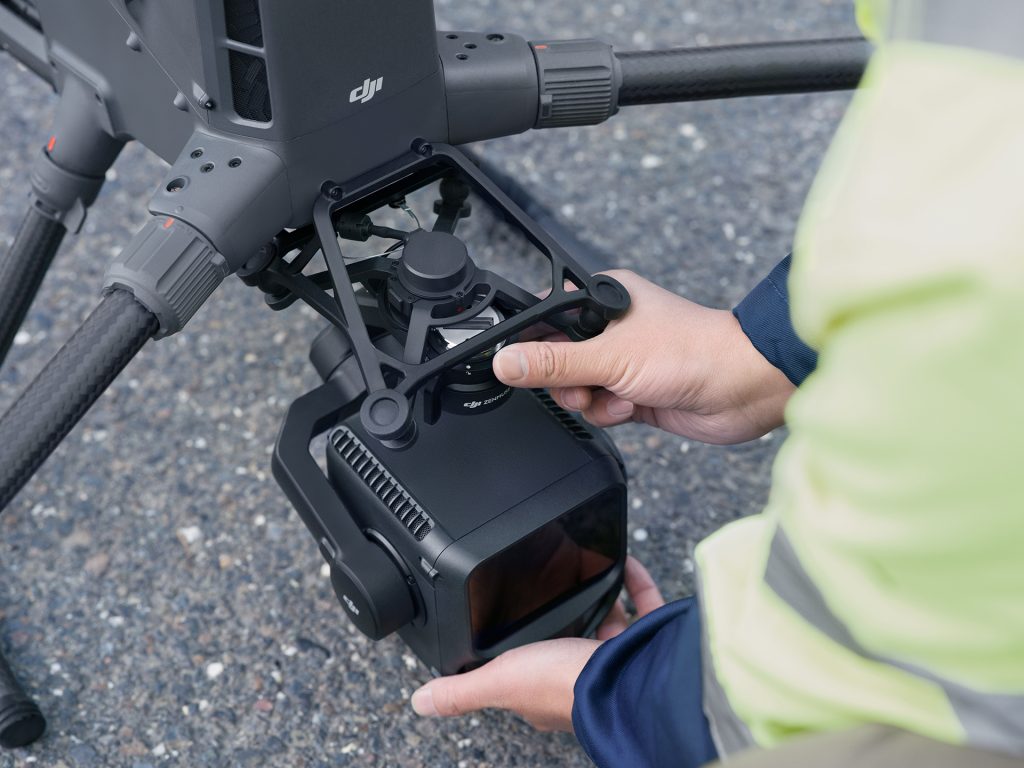
Design & Compatibility
- Built for DJI Matrice 400 only
- New anti-drop gimbal bracket (included)
- Weight 1.6 kg
- 3-axis gimbal: Pitch –120° to +60°, Yaw –80° to +80°, Roll –90° to +60°
- IP54 rated, operational –25 °C to +55 °C
- Quick-connect SkyPort mount
- Not compatible with M350 due to power draw
Advanced Features
Power Line Follow
- FOV 80° × 80°
- Transmission lines (10–130 m, optimum 50–80 m)
- Distribution lines (10–50 m, optimum 30–50 m)
- Terrain following up to 300 m with 10% error margin
Laser Rangefinder
- Measures distance up to 900 m to centre target (@ 10% reflectivity)
Auto Parameter Recommendation
Automatically sets LiDAR point rate and camera resolution based on flight altitude
Three Display Modes (in DJI Pilot 2)
- Point Cloud + Visual
- Visual + FPV
- Point Cloud + FPV
On-Site Measurement
- Real-time point cloud preview on RC
- Measure points, lines, areas and volumes live
- Emergency mapping mode (5% density, 50% accuracy)
Software Ecosystem
DJI Pilot 2
- Supports Area, Route, Oblique, Linear and Powerline Follow routes
DJI Terra (Free)
- 2D/3D reconstruction from LiDAR + visual data
- Gaussian splatting for realistic modelling
- One-click processing and cluster reconstruction
DJI Modify
- Large-scale point cloud editing and semantic classification
- Real-time TIN editing and terrain modelling
- 3-month free trial (+6 months extension via DJI website)
Service & Warranty
DJI Care Enterprise Plus – 1 Year Free
- Comprehensive device protection with unlimited repairs within coverage limit
- Free two-way shipping
- Coverage sharing across multiple devices (activated within 30 days)
- Extended warranty adds 1 extra year of official coverage
- Supported Regions: UK, EU, Canada, Australia, Japan, Korea, Switzerland, Norway, Iceland, Hong Kong, Mexico and more
Technical Specifications
Specification | Detail |
|---|---|
Laser Type | 1535 nm, Max 100 W (Class 1) |
Maximum Range | 950 m (@ 10% reflectivity) |
Recommended AGL | 300–500 m |
Typical Accuracy | 2–4 cm |
Spot Size | Ø 41 mm @ 120 m |
Point Rate | 100 kHz–2 MHz (adjustable) |
Returns | Up to 16 |
Cameras | Dual 100 MP Micro 4/3 |
FOV | 107° |
IMU Accuracy | Pitch/Roll 0.01°, Heading 0.02° |
Weight | 1.6 kg |
Operating Temp | –25 °C to +55 °C |
Protection | IP54 |
Compatible Drone | DJI Matrice 400 only |
Push the limits of aerial LiDAR.
Experience the range, clarity and speed of the new Zenmuse L3 — built for professionals who demand data accuracy at scale.
Call Coptrz on 0330 111 7177 to start seeing further today
{"price":"6816","sku":"DJI-Mini-5-Pro-1","name":"DJI Zenmuse L3","brand":"DJI","category":"DJI Zenmuse Series"}