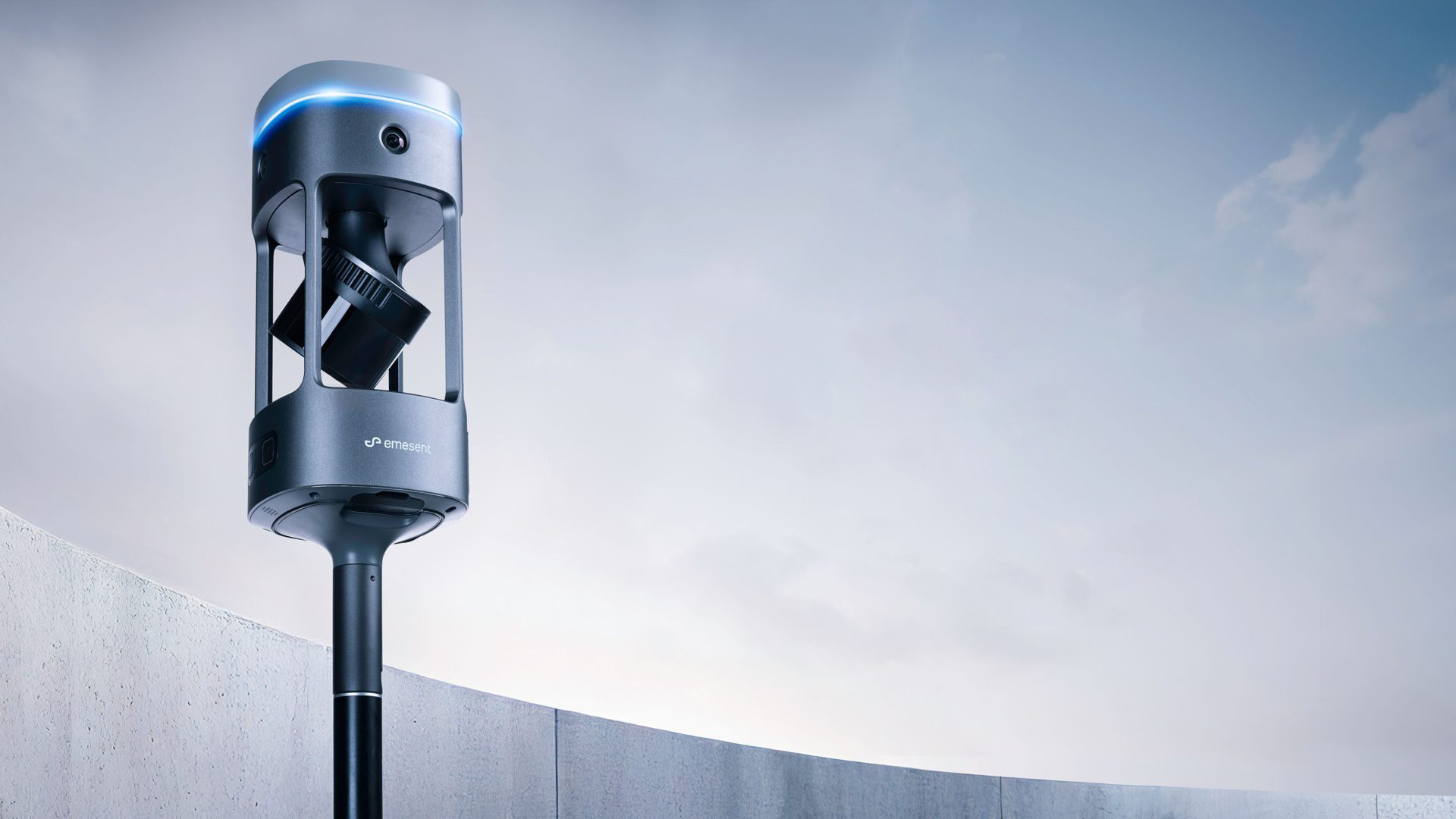

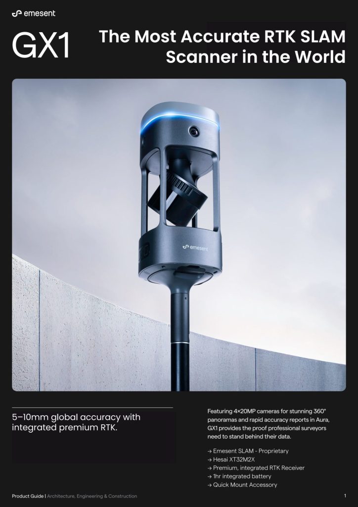
⚠️ WARNING: Your competitors are already using mobile mapping to deliver projects faster.
Turn Days of Scanning Into Hours — Capture 5× Faster with Survey‑Grade Accuracy
- ROI typically seen in 1–3 projects
- Coptrz Rated Excellent on Trustpilot
- Eliminate up to 80% of on-site field time vs traditional tripods
Sub ‑ Centimetre Accuracy
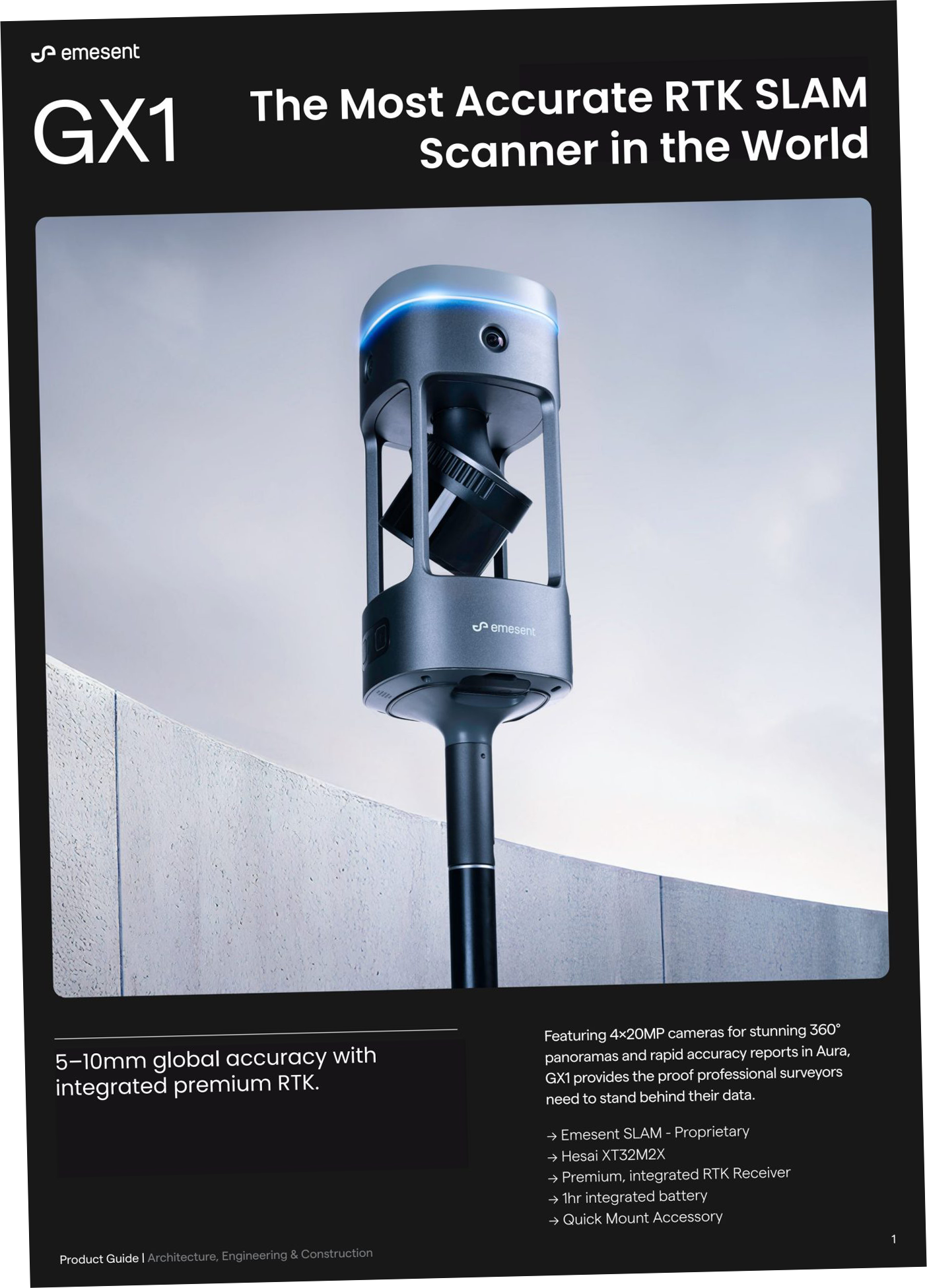
All‑in‑One LiDAR + 360° Imaging











Coptrz Rated “Excellent” on Trustpilot
1000+ professionals to Turn days of surveying into hours with GX1.
Coptrz as seen in: BBC, CAA, Surveyor Journal
Inside the Guide

How Mobile Mapping Reduces Field Time by Up to 80%
When to Use GX1 vs. Drones vs. Tripods
Real‑World ROI: Reducing Return Visits and Rework
Technical Breakdown: RTK‑SLAM Accuracy & 360° Imaging
Buying Checklist & Workflow Tips for 2026
Data Processing Deep-Dive: Moving from raw field scans to an actionable, clean point cloud in minutes.
The Before & After: See the Transformation
Real results from construction professionals who made the switch

Deliver Projects Days Faster
❌ Before: Multiple tripod setups and revisit costs
✅ After: One 30‑minute GX1 walk
Turn weeks of fieldwork into days of precision mapping.

Reduce Costly Rework with ±10 mm Accuracy
❌ Before: ±30 mm accuracy requiring rescans
✅ After: ±10 mm global accuracy with integrated RTK/PPK
Achieve centimetre-level precision in hard-to-reach areas.

Eliminate High‑Risk Site Access
❌ Before: Boots‑on‑ground in hazardous areas
✅ After: Remote capture with GX1
Eliminate safety risks while capturing better data.
Getting Started is Easy

Download the GX1 Guide
Learn how mobile mapping can transform your workflow

Book a Mobile‑Mapping Consultation
Schedule a 15‑min call with a survey expert.

Deploy GX1 With Confidence
Training, hardware and software from Coptrz in one place.

Switching to the GX1 completely transformed our surveying velocity. We scanned a complex, multi-level industrial facility in just 2 hours—a project that routinely took us two full days using traditional static tripods, all while maintaining the sub-centimetre precision our clients demand.
— Senior Geospatial Surveyor, Asset Management Infrastructure
Perfect for…

Survey Directors

Scan‑to‑BIM Managers

Construction Site Managers

Infrastructure Consultants
Questions? We’ve Got Answers.
Yes, absolutely. Simply enter your business details and we will instantly email you the complete, high-resolution digital guide. There are no strings attached—just pure, actionable data to help you evaluate if mobile mapping is the right fit for your team.
The GX1 leverages advanced RTK-SLAM technology to deliver survey-grade, sub-centimetre accuracy. It effectively bridges the gap between the rapid data capture of mobile mapping and the tight precision of traditional static scanners, making it highly reliable for engineering, construction, and BIM workflows.
Very little compared to legacy systems. The GX1 features a highly intuitive “walk-and-scan” operational workflow that your team can pick up rapidly. To ensure you hit the ground running, Coptrz provides comprehensive onboarding and expert-led training to maximize your data quality from day one.
The GX1 is designed to complement, not necessarily replace, your terrestrial laser scanners (TLS). By deploying the GX1 to handle 80–90% of the bulk site scanning and reserving your static scanner exclusively for ultra-precise focal points, you drastically compress your total project timelines while maintaining absolute data integrity.
Get Your Competitive Edge Before Your Rivals Do
While your competitors are still walking sites, you could be delivering surveys 80% faster. Download the guide and start your transformation today.
- 30-second download
- Enter your details to access the free guide instantly.
- ROI visible within first project


