Mastering the DJI Zenmuse L1
Unlock the potential of the DJI Zenmuse L1 with our CPD-certified training program. This comprehensive course introduces participants to the Zenmuse L1 drone, equipped with LIDAR technology for advanced aerial surveying and mapping. Covering key features, data capture techniques, and post-processing, this course ensures you can effectively utilise the DJI Zenmuse L1 for various professional applications.
Why Take The Course?

Show Your Expertise
Master the advanced features of the DJI Zenmuse L1, positioning yourself as a skilled operator in aerial surveying and mapping.

Competitive Advantage
Enhance your skills to provide high-quality LIDAR data collection and analysis services, giving you an edge in competitive fields such as topographic surveys and infrastructure reconstruction.

Build Confidence
Develop the confidence to operate the Zenmuse L1 safely and efficiently, leveraging its advanced LIDAR capabilities for optimal performance.
Buy Mastering the DJI Zenmuse L1
Course Format
Course Objectives
- Understand the capabilities and applications of the DJI Zenmuse L1.
- Learn best practices for data capture and post-processing using DJI Terra.
- Gain insights into specific industry applications.
Module Overview
Module 1: Introduction
- Overview
- Get a comprehensive introduction to the DJI Zenmuse L1 and its features.
- Stand Out Features
- Explore the standout features that make the Zenmuse L1 unique.
Module 2: LIDAR
- LIDAR Solution for Aerial Surveying
- Understand the benefits of using LIDAR technology for aerial surveying.
- Payload
- Learn about the LIDAR payload and its capabilities.
- Cameras
- Explore the complementary cameras and their functionalities.
- Knowledge Check
Module 3: Data Capture & Post-Processing
- Field Data Collection
- Master the techniques for effective field data collection with the Zenmuse L1.
- Post-Processing with DJI Terra
- Learn how to use DJI Terra software for post-processing LIDAR data.
- Knowledge Check
Module 4: Applications & Case Studies
- Topographic Surveys
- Discover how to conduct topographic surveys using the Zenmuse L1.
- Infrastructure Reconstruction
- Learn about the applications of the Zenmuse L1 in infrastructure reconstruction.
- Other Applications
- Explore additional applications for the Zenmuse L1 in various industries.
- Knowledge Check
Course Summary & Exam
- Course Summary
- Recap the key concepts and techniques learned throughout the course.
- End of Course Exam
- Assess your understanding and application of the course material.
Duration: 3 hours
Learn Anywhere, Anytime
Our course is delivered through an industry-leading online learning platform, allowing you to learn at your own pace. No need to take time out of your busy schedule for live classes; enjoy the flexibility of e-learning with Coptrz Academy.


Beyond Drone Training
Enrol in the Mastering the DJI Zenmuse L1 course and gain free access to the Coptrz Academy eLearning platform. Access over 300+ online courses covering Project Management, Finance, Leadership, Commercial Skills, People and Culture, Customer Excellence, and Data.
Enrol in the Mastering the DJI Zenmuse L1 course to advance your skills and ensure the optimal performance of your Zenmuse L1 drone in various professional surveying and mapping applications.
Related products
-

Complete Knowledge Of Crime Scene And RTC Mapping With Pix4D
£47.00 Excl. VAT
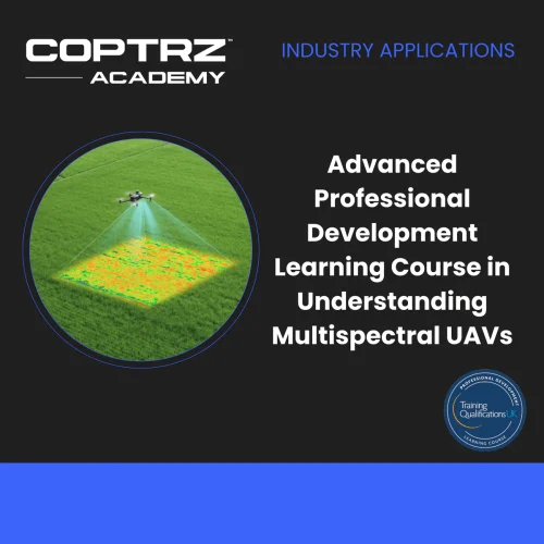
Advanced Professional Development Learning Course in Understanding Multispectral UAVs
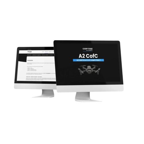
£247.00 Excl. VATA2 CofC – Certificate of Competency Drone Training Course
£97.00 Excl. VATHow to Carry Dangerous Goods with UAVs
£0.00 Excl. VATRelated Case Studies

Dovecote Park
Increasing Security and Health and Safety Measures at Dovecote Park


Latest From Coptrz
 23rd July
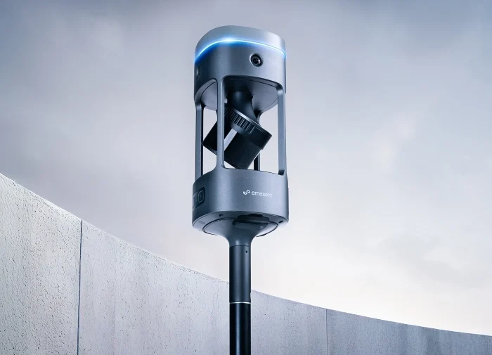
Emesent GX1 vs Traditional Laser Scanning: Speed, Accuracy and Workflow
 NEW
NEWDJI Matrice 400
Become a Drone Pilot
Unlock your business potential with drone technology