How to utilise UAVs and BIM
Unlock the potential of integrating drones into Building Information Modelling (BIM) workflows with our comprehensive training program. This course provides participants with a thorough understanding of BIM principles, data collection options using drones, and the current applications of UAVs in the construction industry. Enhance your skills to effectively leverage drones for enhanced BIM implementation.
Why Take The Course?

Show Your Expertise
Master the integration of UAVs into BIM workflows, positioning yourself as a knowledgeable professional in the construction and surveying industries.

Competitive Advantage
Enhance your skills to provide high-quality data collection and analysis services, giving you an edge in competitive fields such as construction and infrastructure development.
Build Confidence
Develop the confidence to operate drones for BIM applications safely and efficiently, leveraging their capabilities for optimal data integration and analysis.
Buy How to utilise UAVs and BIM
Course Format
Course Objectives
- Understand the principles of Building Information Modelling (BIM).
- Learn how to integrate drones into BIM workflows.
- Gain insights into data collection, processing, and analysis using UAVs.
- Explore the current applications of drones in the construction industry.
Module Overview
Module 1: Introduction
- Introduction
- Get a comprehensive introduction to Building Information Modelling (BIM) and its significance.
- Drone Integration into BIM
- Learn how UAVs can be integrated into BIM workflows to enhance data accuracy and efficiency.
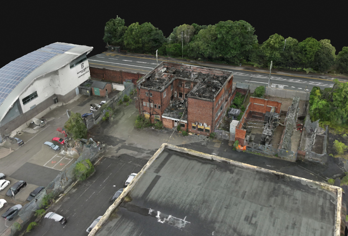
Module 2: Data
- Data Collection Options
- Explore various data collection options using drones.
- Undertaking the Survey
- Understand the procedures for conducting surveys with UAVs.
- Data Processing and Analysis
- Learn best practices for processing and analysing the collected data to integrate it into BIM.
Module 3: Applications
- Coptrz Recommended UAVs
- Discover the UAVs recommended by Coptrz for BIM applications.
- How are UAVs being used?
- Explore the current applications of UAVs in the construction and infrastructure sectors.
Module 4: Summary
- Summary
- Recap the key concepts and techniques learned throughout the course.
- End of Course Quiz
- Assess your understanding and application of the course material through a comprehensive quiz.
- Next Steps
- Guidance on further training and certification opportunities to advance your career.
Duration: 2 hours
Learn Anywhere, Anytime
Our course is delivered through an industry-leading online learning platform, allowing you to learn at your own pace. No need to take time out of your busy schedule for live classes; enjoy the flexibility of e-learning with Coptrz Academy.


Beyond Drone Training
Enrol in the How to Utilise UAVs and BIM course and gain free access to the Coptrz Academy eLearning platform. Access over 300+ online courses covering Project Management, Finance, Leadership, Commercial Skills, People and Culture, Customer Excellence, and Data.
Enrol in the How to Utilise UAVs and BIM course to advance your skills and ensure the effective integration of drones into BIM workflows for enhanced construction and surveying practices.
Related products
-

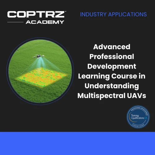
Advanced Professional Development Learning Course in Understanding Multispectral UAVs
£247.00 Excl. VAT
Mastering the DJI Matrice 30 Series
£0.00 Excl. VATHow to Carry Dangerous Goods with UAVs
£0.00 Excl. VAT
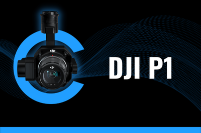
DJI Zenmuse P1 Model Specific Online Training Course
£47.00 Excl. VATRelated Case Studies

Dovecote Park
Increasing Security and Health and Safety Measures at Dovecote Park


Latest From Coptrz
 23rd July
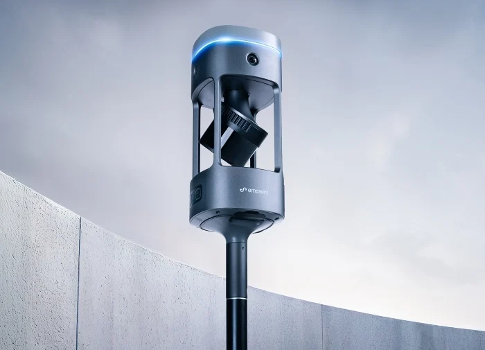
Emesent GX1 vs Traditional Laser Scanning: Speed, Accuracy and Workflow
 NEW
NEWDJI Matrice 400
Become a Drone Pilot
Unlock your business potential with drone technology