Software
-

AirData Enterprise
Join the future of drone fleet management. AirData UAV offers a comprehensive Enterprise Fleet Management Software (EFMS) tailored for the enterprise UAV market. Airdata software is designed to enhance order conversions, foster customer engagement, and boost customer retention and future sales.
Navigate the skies with ease. With AirData, every drone, pilot, and flight is at your fingertips.
For a specific package and pricing, contact our team for more.
-
DJI FlightHub 2
£1,019.00 Excl. VATDJI FlightHub 2 is an all-in-one drone operations management software designed to enhance the efficiency and safety of drone operations across various industries.
-
DJI GS Pro Enterprise
DJI GS Pro Enterprise is an iPad app designed to control or plan automatic flights for DJI aircraft. Through its clear, concise interface, complex flight missions can be planned with a few taps.
-

DJI Modify
Price range: £225.00 through £3,109.00 Excl. VATDJI Terra is a software solution specialising in 3D model reconstruction, with photogrammetry at its heart. It facilitates precise and swift 2D and 3D reconstruction using visible light data, as well as data processing via DJI LiDAR technology. Seamlessly compatible with DJI Enterprise drones and their payloads, DJI Terra integrates to form a comprehensive application system. This system serves a variety of sectors, including land surveying, mapping, power transmission, emergency response, construction, transport, and agriculture.
-

DJI Terra
£917.50 Excl. VATDJI Terra is a software solution specialising in 3D model reconstruction, with photogrammetry at its heart. It facilitates precise and swift 2D and 3D reconstruction using visible light data, as well as data processing via DJI LiDAR technology. Seamlessly compatible with DJI Enterprise drones and their payloads, DJI Terra integrates to form a comprehensive application system. This system serves a variety of sectors, including land surveying, mapping, power transmission, emergency response, construction, transport, and agriculture.
-

Flyability Asset Management Software
Building on previous asset maps captured with Elios 3, the Asset Management extension automatically merges newly acquired data with existing results in real time, offering a holistic view of your asset data in a single frame of reference
-

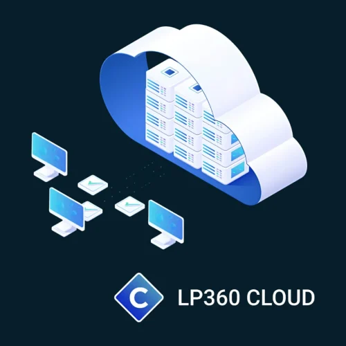
LP360 Cloud
Extend the processing power of LP360 desktop with LP360 Cloud and its ever-growing collection of cloud-based tools and resources that will make it easy for you to manage, archive, share and collaborate on geospatial projects.
-
Pix4Dcloud
Price range: £0.00 through £2,646.02 Excl. VATElevate your project management with Pix4Dcloud, a powerful online platform that transforms aerial imagery into custom maps and 3D models for in-depth analysis. Ideal for professionals in construction, agriculture, real estate, and more, Pix4Dcloud offers a suite of tools for tracking progress, measuring distances, and analysing changes over time.
-
Pix4Dfields
Price range: £0.00 through £3,097.35 Excl. VATPix4DFields stands out as a transformative software, harnessing the power of technology and agronomic expertise.
-
Pix4Dmapper
Price range: £0.00 through £4,150.44 Excl. VATElevate your mapping to the next level with Pix4Dmapper, the industry's premier photogrammetry software. Designed for professionals who demand precision, Pix4Dmapper turns your images into highly accurate 3D models and maps. Whether you're surveying, constructing, or farming, this software provides the tools you need to capture reality and transform it into actionable data.
-
Pix4Dmatic
Price range: £0.00 through £5,831.86 Excl. VATTransform your large-scale mapping operations with Pix4Dmatic, the next-generation photogrammetry software designed for efficiency and accuracy. Built to handle the vast data sets generated by modern aerial imagery, Pix4Dmatic ensures that professionals can leverage the full potential of their hardware, turning high-resolution images into precise, georeferenced 2D maps and 3D models.
-
Pix4Dreact
Price range: £0.00 through £699.12 Excl. VAT