DJI High Precision GNSS
Ultimate Accuracy for Professional Surveying and Mapping
The DJI High Precision GNSS is designed to provide superior accuracy for your geospatial data collection needs. Using advanced GNSS technology, this mobile station ensures precise positioning, making it indispensable for professionals in surveying, construction, and agriculture.

High Precision GNSS Technology
The DJI High Precision GNSS delivers centimeter-level accuracy by utilizing advanced Global Navigation Satellite System (GNSS) technology. This ensures that your aerial surveys and mapping missions are conducted with the highest level of precision.

Real-Time Data Transmission
With real-time data transmission capabilities, the GNSS station provides instant positional data, enhancing the efficiency and accuracy of your operations. This is crucial for time-sensitive tasks that require immediate and reliable data.

Robust and Portable Design
Built for durability, the DJI High Precision GNSS features a robust and weather-resistant design. Its portable and easy-to-deploy structure ensures that you can use it in various environments, whether in rugged terrain or urban settings.
Buy DJI High Precision GNSS
Related Training


Related products
-

DJI Power 1000
Price range: £15.83 through £732.50 Excl. VAT
BS60 Battery Station for Matrice 300
£834.00 Excl. VAT
Pix4D vidoc RTK Rover
£4,797.52 Excl. VATCZI GL60 Mini Gimbal Searchlight


Latest From Coptrz
 28th July
How Mobile Mapping Can Improve Scan-to-BIM and Measured Building Surveys
 23rd July
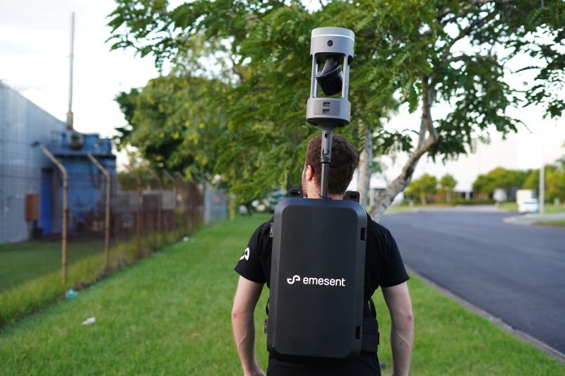
Emesent GX1 vs Traditional Laser Scanning: Speed, Accuracy and Workflow
 NEW
NEWDJI Matrice 400
Become a Drone Pilot
Unlock your business potential with drone technology