The need for Aeroscope was recently brought into the limelight. UK authorities have confirmed that a drone passed a mere 20 feet over an Airbus 319 during takeoff. It’s one of the biggest fears drone pilots have when flying.
According to a report released by the UK Airprox Board, a drone came close to an Airbus 319 following takeoff from Heathrow on January 7th. The board gave the incident its highest risk rating yet.
There was an estimated separation of 20ft, as a result, the pilot didn’t have any time to take any corrective action. The Metro has reported there were 160 passengers on board the plane.
The Civilian Aviation Authority has clear regulations with respect to where drones can fly legally. For example, they insist drones should be in the sightline of operators at all times.
Want a good read?: Anti-Drone Technology. Why It’s Become Essential For Airports

Aeroscope: Saves Lives
Both Heathrow and Canada’s Lesage International Airport have both reported sights of drones striking planes. In both cases, however, pilots were unable to be located. This is where Aeroscope comes into play.
DJI recently launched Aeroscope, allowing users to broadcast real-time identification information. This includes the UAV serial code, make and model, UAV position, speed, latitude, and ground controller location. This also the operator to take mitigation action against the drone threat, and dispatch law enforcement to apprehend the pilot.
So in this scenario, using Aeroscope, Heathrow could have tracked the pilot down.
It’s incredibly important drone users read up on the regulations before taking to the skies as this could ultimately save lives.
Free eBook: Detecting Drone Threats at Airports
With the increased number of drones in the skies, comes the added risk of disruption. According to Airprox, over a two-year period, there has been a 168% increase in drone and plane near misses.
Drones are becoming a huge safety concern to security personnel at airports, however, they remain perilous to the threat without effective detection methods.
There are a number of factors to take into account when deploying drone detection and this guide aims to give you an overview of the solutions available to protect your airport.
Our free eBook will give you all the stats, the latest laws that are due to come into effect and show how various types of drone detection works, amongst other things.
Download the free eBook here to find out more.
Like what you see? Read more:
- News Flash: DJI updates Zenmuse X7 to support Apple ProRes Raw
- Aeroscope Thwarts Illegal Drone Activity at G20 Summit
- Aeroscope – DJI Drone Detection System
Download Our FREE RPC-L1 Guide
Understand everything you need to know about moving towards commercial drone operations with our RPC-L1 guide.
- Understand what RPC-L1 is and who it is for
- Learn how the CAA transition impacts operators and training routes
- Get a clear breakdown of requirements, costs and next steps


Related Posts
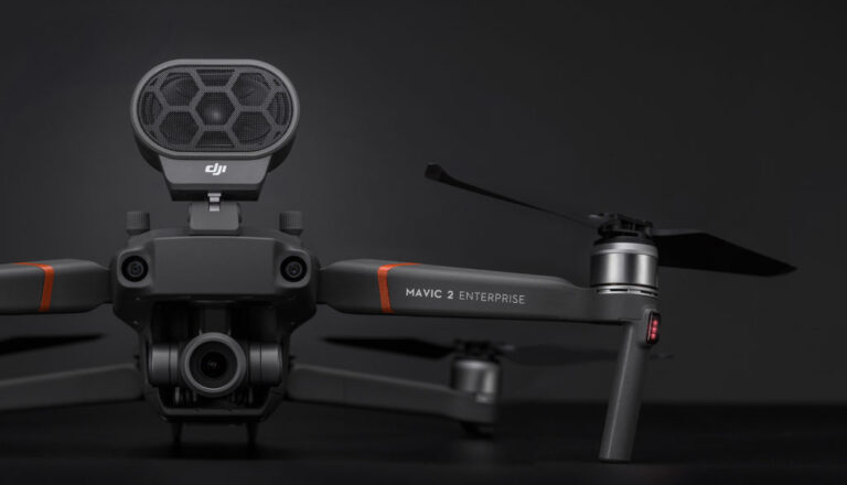
An In-Depth Look at the Mavic 2 Enterprise
When the original Mavic drone was launched back in 2016, it was marketed as a high-end consumer drone. But the platform’s ease of use, extensive payload options and affordability meant it found popularity in a number of industries including construction, surveying and search and rescue. So when DJI launched the updated Mavic 2 Zoom and […]
Smart Inventory Management: Using Drones for Stockpile Volume Measurements
Accurately measuring stockpiles of bulk and loose materials is a labour-intensive task for any production facility. Here we discuss how using drones for stockpile volume measurements can help to improve operational efficiencies in an industrial environment. Stock control is one of the most important tasks for any logistics coordinator. Knowing how much inventory you have […]
COPTRZ fly the Flyability Elios drone at Tech Incubator Launch
Here at COPTRZ, we decided to take the Flyability Elios drone for a fly at the Platform Tech Incubator Launch in Leeds. Take a look at the video here: https://www.youtube.com/watch?v=C9XiAeqJNLo&feature=youtu.be The Elios is the first collision tolerant drone. It’s housed in a carbon fibre protective frame, and therefore means you can access the tightest spaces without […]