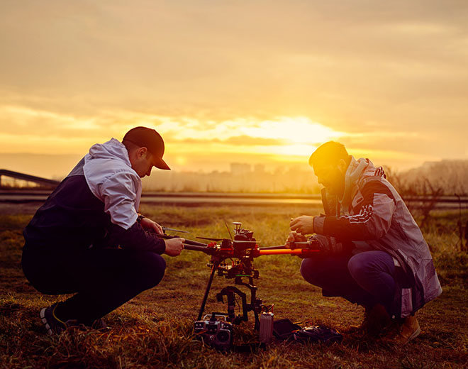
The very idea of drones capable of autonomous flight sounds like something straight out of science fiction, yet it’s increasingly becoming a reality in the commercial drone industry. As commercial drones increasingly receive more awareness, so does the number of organisations looking to transform their operations with them.
An area of growth in the commercial drone industry has been in the development drones capable of inspection and mapping in dangerous and challenging environments, the objective being increased operational safety and richer insight. Yet existing solutions often feature a drone surrounded by a cage, manually flown by a pilot. While this is an effective solution, loss of signal, GPS & pilot error can all mean the loss of your new drone.

This has led to a shift in the industry towards SLAM based solutions, which combine the power of simultaneous localisation and mapping to paint a real-time 3D map to aid navigation. One company pioneering autonomous technology in drones is Australian based company Emesent.
Founded in 2018, Emesent has quickly become a world-leader in drone autonomy with their award-winning SLAM base mapping payload, Hovermap. Hovermap combines omni-directional collision avoidance, GPS-denied flight, and advanced autonomy functions to enable accurate mapping and inspection in challenging environments.
While Hovermap may not be the first or the last SLAM-based mapper, what makes it stand out from the competition is its software and versatility. Firstly, Hovermap features three software levels with increasing autonomous intensity.
Mapping Mode or AL0 (Autonomy Level) is the starting point, designed to be used when Hovermap is attached to a vehicle, back-pack, cage or used with a handle. Our industry expert James Pick recently used this very setup in a walked-survey of Bolingbroke Castle in Lincolshire, point cloud below:
Pilot Assist Mode (AL1) uses a LiDAR-based omnidirectional collision avoidance to create a vesh shield around the drone, assiting the pilot during line-of-sight flight indoors, underground or close to structures. Pilot Assist Mode also provides the pilot with position hold in GPS denied areas.
The video below shows the use of Hovermap in the Tara Mines, Europes largest zinc mine. Hovermap was mounted on a DJI Matrice 300 RTK and used the Pilot Assist Mode to provide an extra layer of safety against hidden obstacles such as cables.
Lastly, Autonomous Waypoints (AL2) enables beyond line-of-sight autonomous flight in GPS-denied environments. With AL2, Hovermap pilots can fly an entire mission, from takeoff to landing, using a tablet. Data is processed onboard in real-time to stream a 3D map back to the operator. The pilot only needs to tap on the map to set waypoints, and Hovermaps takes care of the rest, navigating to waypoints while avoiding obstacles.
AL2 includes advanced failsafes and behaviors to deal with challenging conditions such as dust, thin wires, and communications loss. These enable robust autonomous flight that has been extensively tested in underground mines, forestry, and other challenging environments.
The point cloud below was captured using Hovermap and Autonomous Waypoints (AL2). In an difficult environment like this, even a skilled pilot can struggle, so handing off all navigation to Hovermap enables the operator to focus on capturing the best possible data.
For more information or enquries about Hovermap CLICK HERE
Download Our FREE RPC-L1 Guide
Understand everything you need to know about moving towards commercial drone operations with our RPC-L1 guide.
- Understand what RPC-L1 is and who it is for
- Learn how the CAA transition impacts operators and training routes
- Get a clear breakdown of requirements, costs and next steps


Related Posts

The Ultimate Drone Photography Package…
Coptrz is proud to announce, our latest collaboration with content creator Daniel Hughes. Our partnership with Daniel Hughes has been long-standing. Now we can finally reveal what we’ve been working on in partnership behind the scenes – the collaboration with our brand ambassador, Daniel, has resulted in the ultimate drone photography package which has been […]

How Elios 3 is Transforming Scan to BIM in Confined and Complex Spaces
In the world of infrastructure and industrial inspection, Building Information Modelling (BIM) has become a standard. But capturing the data to feed these models—especially in hazardous or hard-to-reach areas—remains a challenge. That’s where Flyability’s Elios 3 steps in. With its collision-tolerant design and industry-leading LiDAR payload, the Elios 3 is enabling faster, safer, and more […]
Fixed Wing vs Multirotor Drones for Surveying
Fixed Wing VS Multirotor: Who wins? The use of drones for surveying and mapping has expanded in recent years as geospatial and construction companies realise the benefits that these systems provide. Today’s drones can collect much more detailed data than traditional survey methods allowing 3D maps to be created and shared easily online. But these […]