Crop monitoring and damage assessment with accurate field data helps improve crop production in affected areas and prevents yield loss.
Crop damage directly impacts food security, nutrition, livelihoods, and national economies. Climate change and extreme weather conditions have greatly impacted farmers and crop production. What is needed now more than ever is easy access to accurate field and crop data that gives clear insights into the damage. This information can then be used to effectively plan the restoration of the damaged areas.

Crop monitoring and damage assessment with accurate field data helps improve crop production in affected areas and prevents yield loss.
Matt Clark is the owner of Straight up drones, a startup company based in Sawston, Cambridgeshire, UK. The company aims to provide farmers with up-to-date, high-quality, and easily accessible maps and information about their crops using data collected by drones, which could save time, resources, and money. This could also give farmers and agronomists insights into the state of their crops on a large scale that they haven’t had access to before.

Straight up drones typically work with local farmers who need to get accurate insights into their crops’ condition, damage assessment, and more. That is why Matt’s work is ongoing as it involves regular mapping of his clients’ local farmlands to have a complete view of their crops’ progress and prevent or effectively cope with unwanted problems that may come up.

Project details:
Location: Cambridge, UK
User: Straight up drones
Project duration: 10 hours
Areas surveyed: 115 ha
Software used: Pix4Dfields
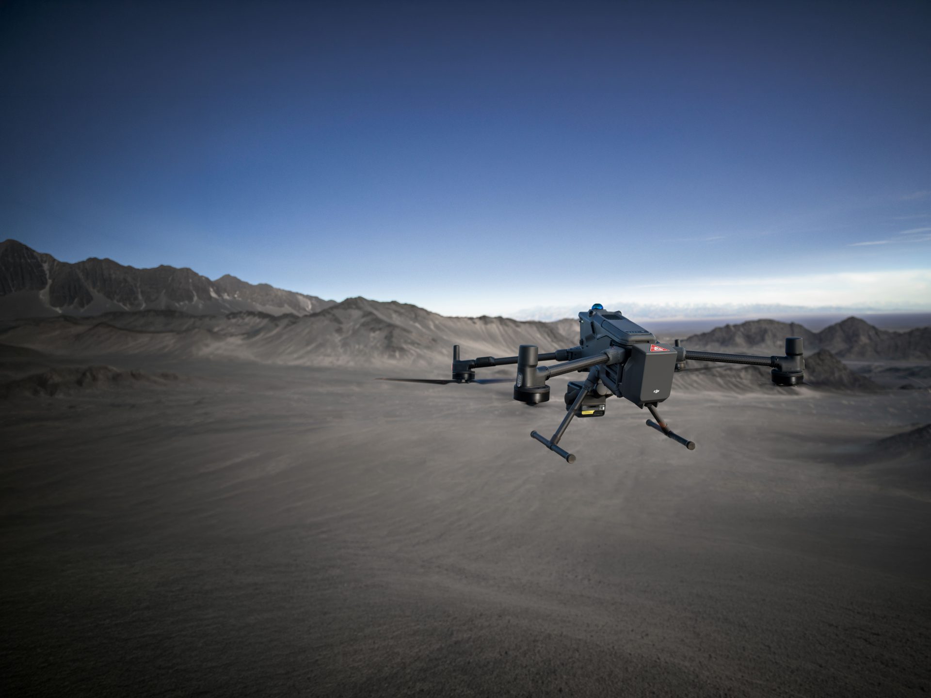
Hardware used: DJI Mavic 3 Multispectral
Processing hardware: Windows 10 intel i7–4790 cpu 16gb ram
Processing time: Between 3-4 hours
Images captured: 19,600
GSD: 19.47 mm
Identifying damaged areas on the field with the Magic Tool
How did Matt manage to get accurate insights on the exact areas damaged in just 10 hours? After the drone’s flight and the image capture, the images were processed in Pix4Dfields. Matt used vegetation indices to confirm the areas where the crop had been impacted. Then he used Pix4Dfields’ Magic Tool, an AI tool that helped to automatically spot all areas on the field that were affected. In this case, the damage was done by frost and deer. In PIX4Dfields Matt was also able to make annotations indicating the exact surface area affected in different parts of the field and classify his annotations according to the damage’s source, eg. ‘’Damage by deer’’

Getting the full picture helps farmers improve yields
Mapping the field using a drone and processing the images with PIX4Dfields gave the farmer a view of the damaged area from above that he didn’t have before. He was able to see and get an accurate measurement of the damage across the whole field and not just the parts that had been walked on foot, as well as track progress where the crop had to be replanted. It was then possible for him to work out the area of damage very accurately and monitor it after it had been reseeded.
“Invaluable software packages that have new additions and improvements being made all the time.“
Matt Clark, Owner of Straight up drones
Pix4Dfields helped Matt execute the project quickly and smoothly. Among the reasons he enjoys working with this software are the accurate and fast results that can easily be shared with farmers. With the ongoing improvements of the software his needs for his farming and agriculture projects are successfully met.
Article Credit: Pix4D
Download Our FREE RPC-L1 Guide
Understand everything you need to know about moving towards commercial drone operations with our RPC-L1 guide.
- Understand what RPC-L1 is and who it is for
- Learn how the CAA transition impacts operators and training routes
- Get a clear breakdown of requirements, costs and next steps


Related Posts

Choosing a Drone for Commercial Applications
Drones are one of the most rapidly advancing technologies which are currently disrupting industries across the world. There are hundreds of drone manufacturers vying for business across the leisure and commercial market, with household names such as Parrot and Go-Pro now getting in on the act. But how do you go about choosing a drone […]

Drones in Surveying: Everything You Need to Know
The surveying industry has undergone a revolution in recent years, thanks to advancements in drone technology. Drones offer a faster, safer, and more cost-effective solution for capturing high-quality geospatial data. But with multiple technologies, platforms, and workflows available, understanding the best approach for your surveying needs can be complex. In this blog, I’ll answer key […]
Growth of the Drone Industry with Rebecca Jones
The growth of the Drone Industry: By Rebecca Jones Established in 2014, regarded as a pivotal company in the promotion and implementation of many of the UAV survey applications which we see within varied markets, Iprosurv are an optimum quality UK drone pilot contractor network comprising of field experts who strive to provide clients, from […]