Drones are considered as the most significant enhancement in SAR operations since the introduction of search dogs.

Drones are not only utilised by Police in a Search and Rescue (SAR) mission, but also by the mountain rescuer. In fact, there is a specialised aerial search and rescue team, who use drones, which was created specifically to support mountain rescue service. The team is Search and Rescue Aerial Association in Scotland (SARAA-Scotland) that was established as a registered charity last year and has become a key asset of the Scottish Mountain Rescue service.
According to the Chief Pilot, Tom Nash, drones offer amazing capabilities that can improve search and rescue operations, especially to find people in the most inaccessible places. “They (drones) provide another tool for the search managers to use and help with the effective and efficient utilisation of assets,” said Nash who used to serve RAF for 15 years.
That sentiment is echoed by the association’s chairman, Dave Wright. He states that the introduction of drones into the Search and Rescue toolbox can be considered as the most significant enhancement of capability since the introduction of search dogs in the 1960s.
It’s a widely acknowledged rule of thumb in the SAR community that search dogs can cover the same ground as 20 people – so it is interesting to hear that a SAR team considers drones as something that can improve its operations. In fact, on 17 October 2018, SARAA-Scotland unveiled its own drone prototype which is a result of a partnership with Bath University.
Fly Smart

Even though drones (technically) can improve SAR operations, the ability to fly smart is also essential, especially when you’re working in places such as the Scottish mountains. Scottish mountains are widely known for their extreme weather and many areas dangerous to both humans and drones.
“Conditions are rarely ideal and time is always of the essence. However, what is flown needs to deliver what the search managers require, and by confident, trained, pilots otherwise it can be an easy distraction,” said Nash.
Nash also adds that “to have a common, strategic, national approach would rapidly allow expansion of this capability whilst also satisfying the CAA for wider exemptions for conducting life-saving operations, especially in wild and remote areas such as Scotland where the risk is very different to urban emergency service use.”
According to suasnews.com in 2018, Nash and SARAA-Scotland have done more than 270 drone flights that last more than 45 hours. Most of the times, he used a drone in a SAR mission for a vulnerable missing person in the borders of Scotland which has a various high-risk area for mountain rescue team members such as steep banking. With drones, Nash could survey the area safely without having to risk the safety of his team members.
What’s Next?

Drones are likely to be more and more popular and important for mountain rescue in the future. Our Drone Efficacy Report has a lot of data that can prove it. Grab it to learn more about how drones can change and improve SAR operations.
In addition, if you want to know more about what kind of drones, payloads, or software that you should use for a SAR operation, check our previous blog post about drones for SAR. The alternative, you can join Coptrz’s FREE WEBINAR about SAR operations this Thursday. In the webinar, Sam Denniff, our UAV Strategist specialising in drones for public safety, will be looking at drones, payloads and software for aerial SAR operations. We’ll also be looking at the soon to be launched PiX4Dreact, a new realtime mapping software aimed at the emergency services.
Download Our FREE RPC-L1 Guide
Understand everything you need to know about moving towards commercial drone operations with our RPC-L1 guide.
- Understand what RPC-L1 is and who it is for
- Learn how the CAA transition impacts operators and training routes
- Get a clear breakdown of requirements, costs and next steps


Related Posts
Join COPTRZ at the Flyability Elios Demo Day
COPTRZ are hitting the road again to showcase the Flyability Elios to a live audience in Eccleshall, Staffordshire on 8th February 2018. Join us as show how the Flyability Elios can be used to safely, quickly and efficiently inspect and explore confined spaces without the need for human entry. Click here to register your free place. […]
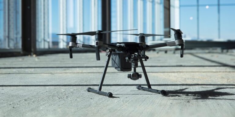
DJI Matrice 200 Series: Part 1 – Commercial Applications
Part 1 of a 2 part series, this blog will take you through the different commercial applications the Matrice 200 series is ideal for. The Matrice 200 series are commercial drones from DJI that are built for robustness and durability. Adaptive engineering that makes it suitable for a wide range of commercial applications. It is […]
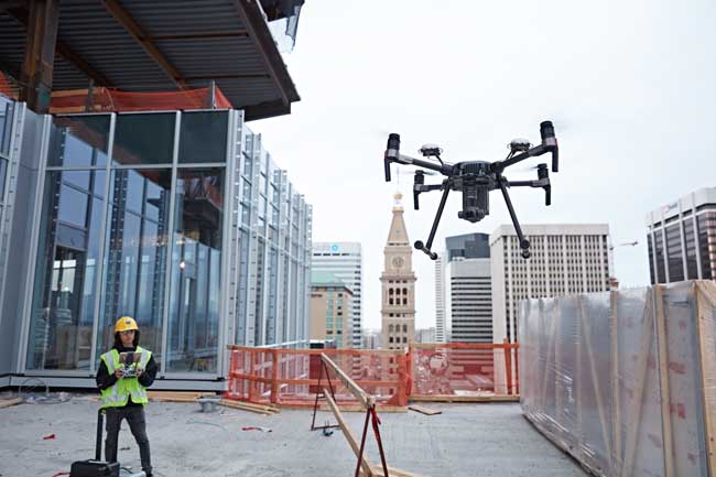
How to use drones to assess construction sites
Drones are providing valuable work across many diverse industries today, with the aircraft found everywhere from the mine to the warehouse and even the battlefield. But one place where drones have proved to have the biggest impact is on the construction site. Drones have become as common on the construction site as the dump truck […]















