The Drones in Surveying Summit 2021
Aerial photogrammetry and surveying are not a new combination, manned aircraft have long been the reliable yet expensive choice for surveyors in the collation of big data sets across large areas. Yet the media coverage and advancements in technologies like battery capacity have brought drones into the spotlight for commercial surveying. The price of drones has also gradually declined as the technology becomes more widespread, making it a tool that’s far more accessible in terms of cost.
In our recent ‘Drones in Surveying Summit’ at Coptrz Con 2021, we brought together a number of survey industry experts, ranging from the manufacturers of hardware, such Phase One, to surveyors who provide drone services such as Precision Air Surveys. In this blog we’ll explore some of the key topics that were covered and invaluable insight that was shared.
Discussions about the potential uses of drones in industries like agriculture, defence and first response are common, yet a recent report by Skylogic Research suggests that while not the biggest, the surveying and mapping industry is the most lucrative of all the segments in terms of potential revenue.

Who’s in the best position to seize the opportunity?
For stakeholders in the survey sector, a topic that is often hotly debate is whether organisations should build up their own drone capabilities, or to outsource to specialists. Much like the ‘LiDAR versus photogrammetry conversation’, there isn’t a definite answer, it comes down to job specifications.
During the Surveying Summit, Simon Judd from Precision Air Surveys spoke about his experience, suggesting that SME surveying firms were often limited in resources and didn’t feel prepared to take on the requirements of drone piloting. Simon noticed this trend having long been in the surveying sector, so he started his own drone surveying business, specialising in photogrammetry.
Simon also spoke about how there’s a ‘real buzz’ around drones in the survey industry, especially from a client perspective, there’s a real awareness of the cost and time saving benefits from the clients. Yet Simons recently noticed a trend in clients paying more attention and wanting to spend more money on the drone platform itself rather than the payload which is far more critical to the success of the mission.
This gap in understanding is where these specialist drone surveyors can seize the opportunities. Having a complete understanding of drone capabilities, drone start-ups such as Simons can better serve their clients and provide a superior service.
Why you should use drones in surveying?
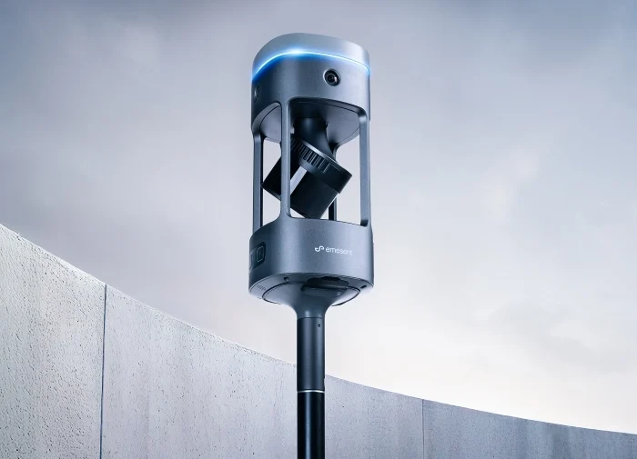
Accuracy is a critical requirement in surveying and photogrammetry. Something that we’ve really seen growth in is the development of technologies and hardware specifically designed to support surveyors in their successful deployment of UAV’s. James Wardlow from Phase One spoke to us about his success in using fully metric camera systems in the survey industry.
“At Phase One we’ve been developing cameras that are specifically created with UAVs in mind. Going right down to the materials, the quality of the lenses, to make it the ultimate camera system for drones. The Phase One camera systems are perfect for large data capture and getting really high quality data.
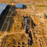
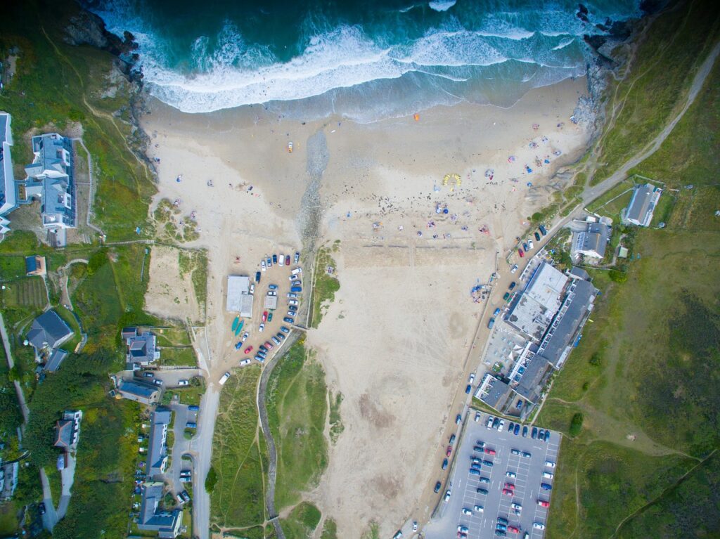
With the advent of UAV’s, you can really focus on detail and use it to monitor stockpiles, watch construction sites and monitor progress on something. In a much more versatile way compared to an aircraft which are generally several hundred pounds per flight. Drones really provide the ideal tool for airborne mapping applications.

Specifically for the brand new P3, we’ve just announced integration with the M300 UAV, it’s a custom built gimble providing full control of our payload through the M300, while also collecting accurate RTK data. The benefit of our camera systems is providing full metric data accurately.
Metric or Semi-Metric?
The main reason you’d go a fully metric camera is the repeatability and accuracy, with a semi metric camera the construction of the camera doesn’t lead to a very ridged construction between the lens and the camera. What this means is over a single flight you could process your data with something like Pix4D which is calibrating your data, but on a one-time basis.
On a fully metric camera the relationship between the camera and the lens is fully known, fully calibrated and doesn’t change, its completely rigid. You no longer have to run self-calibration on the data. You will have far greater repeatability, which is very important if you’re running multiple flights for a single project, so you can have far more confidence in the camera itself.
Drones provide a whole host of benefits to those that harness their potential. Chris York from Buckingham Group Contracting ltd spoke to us at the Surveying Summit about the key reasons as a company they decided to use drones.
“At Buckingham Group we had such large data sets that needed capturing, and it wasn’t possible with our manpower, so we turned to drones as a solution to support us with large projects that were formely unfeasible. We’d previously used a fix wing with a Fujifilm 60 MGP, but found that the accuracy and repeatability just wasn’t good enough, so we had to keep going back and doing a walk survey.”

That’s where our test with Coptrz came in, we took the M300, Wingtra and DJI Phantom 4 RTK out. We found that different drone platforms provide incredible versatility, you’ve got the Phantom 4 RTK for small to medium projects and the Wingtra and M300 are more suitable for larger projects. The accuracy was also far better, to the point where it could decrease the number of surveying visits greatly, presenting a far more efficient solution.
From Drone to Client – Harnessing Pix4D
A theme that was emphasised by our speakers at the Surveying Summit was the ease at which data can be provided to the end client, “Because there’s such a wide range of software’s to use such as Pix4D, surveyors have an ever-expanding list of tools they can use to provide the ultimate solution for their clients” – James Pick.
We recently held a webinar with Pix4D (available here), a premier photogrammetric software provider, to demystify the process by which surveying data is collected, analysed and provided to the end client. Pix4D has been in the drone mapping software game for a while as pioneers of innovative photogrammetry software’s, such as Pix4Dmatic and Pix4Dmapper.

By far the most unique aspect of Pix4D is the constant development of industry specific mapping options. There are solutions for civil engineering, Agriculture, Mining, Public Safety, Education and Construction. Pix4D’s easy Pay-As-You-Go model is a fantastic feature for those learning the software, and for those who are full invested there are monthly and lifetime packages.

Pix4D have recently improved upon their mapper software and introduced Pix4Dmatic, optimized to be faster and more reliable for datasets over 5000 images, while also now supporting geoid RTK data. For those not familiar with surveying and GPS data, geoid RTK data uses a locally geometric representation of the physical shape of the Earth, while more widely used ellipsoid data treats the earth’s surface as a smooth spherical surface.
Geoid data can therefore be considered more accurate as it accounts for the actual shape of the earth, thus providing a highly precise reading of drone height and location.

If you’re looking to become more familiar with Pix4D and their software solutions, they provide free data sets on their website and month-long trials for all their software. Our surveying packages at Coptrz also include access to Pix4D software’s as a complete package.

If you’re looking to provide your clients with cutting edge surveying solutions, get in contact with us below to get crucial insights into the wide applications of drones in surveying.
Download Our FREE RPC-L1 Guide
Understand everything you need to know about moving towards commercial drone operations with our RPC-L1 guide.
- Understand what RPC-L1 is and who it is for
- Learn how the CAA transition impacts operators and training routes
- Get a clear breakdown of requirements, costs and next steps


Related Posts
Innovation in Action: The Parrot ANAFi Ai Drone’s Mapping Capabilities
In the fast-paced world of emergency response, every second counts. The quicker the response, the better the outcome. This is where the Parrot ANAFi Ai drone comes into play, offering a solution that is not just swift, but also accurate and efficient. The Incident Recently, a significant fire broke out at a warehouse operated by […]

New Drone Laws 2019, Part 2
In a previous article, we covered the basics in terms of what actual changes are being made to the rules and regulations for drone use in the UK. However, there’s a lot more in the government’s recently released response to the ongoing consultation period as it continues to shape and evolve the law in collaboration […]

Capturing Clarity Without Compromise
In the realm of renewable energy, ensuring the integrity of wind turbine blades is paramount. Traditional inspection methods often necessitate halting turbine operations, leading to significant downtime and associated costs. Enter Drone Solution’s innovative approach: utilising UAV-mounted high-resolution cameras to inspect turbine blades while they remain in motion. The Challenge Conventional inspections require turbines to […]