Driving change: Drones for Surveying
Drones can do a lot: from taking photos and delivering packages to even replacing fireworks. But can they put an end to every driver’s dread? Yet as we get closer to winter, we’re exploring the use of drones to prevent potholes.
To say they are a problem is an understatement. Did you know that if you stacked the UK’s total number of potholes, you would reach a depth of more than 30 km? That’s nearly three times as deep as the Pacific ocean.
In 2019 alone, compensation and payouts to drivers drained council budgets by £2,810,306.
AA calls out UK councils
In October, the AA accused some councils in England of achieving “next to nothing” when it comes to maintaining the nation’s A-road network.
An analysis of Department for Transport (Dft) figures on maintenance revealed that just 0.6 per cent of roads were strengthened, while 2.0 per cent were resurfaced and 3.6% had undergone surface treatment.
Fortunately, they are exceptions to the rule. The AA identified two top-leading counties. While Lincolnshire successfully treated 10.2 per cent of its A-roads in 2018/19, Somerset treated 13.5 per cent of its network.

The big fixer
With winter weather becoming more extreme, there’s a very real danger that some councils will face a plague of potholes.
Nowhere is it costlier than with drivers. Potholes can result in expensive damage to your tyres, wheels and suspension, resulting in compensation claims which can drain a council’s finances.
… which brings us back to Lincolnshire, which the AA called a “big fixer”.
In Lincolnshire, the county council paid nearly £1.2 million in legal claims for pothole damage over a two-year period, according to a Freedom of Information request. The review included 384 personal injury claims and 4,726 claims for damaged property.
You see, while Lincolnshire spent a whopping £1.05 million in payouts in 2018, the council paid out just £130,000 in 2019.
While Lincolnshire, like many counties has suffered from chronic underinvestment by central government, has invested £38.5 million in proactive roadworks and just £3.6 million reacting to reports of highway damage. Let’s take a look at how using drones for technology can help other counties make a difference…
The technology driving change
Drone mapping makes it possible for teams to complete surveys faster and more frequently, while the outcomes are instantly and easily recorded in digital asset databases. The systems are always being updated, authorities are able to keep a watchful eye over the entire network, rather than simply reacting to its failings in an isolated manner.
A juggling act
Unlike repair and maintenance organisations which react to issues, infrastructure management agencies balance cost, risk and performance over the life cycle of a road network.
Their primary goals are to ensure the network performing at its best while minimising the risks posed to safety and the environment.
To do this effectively, agencies need to be informed of the asset’s current and future condition, as well as how it is actually performing – in real-time. Without this crucial information, how can you balance the cost against the impact?
Put simply: not easily. Performing periodic surveys and keeping an up-to-date database of roads, bridges and other bits of civil engineering on the ground is costly and time-consuming.
An essential tool in a surveyor’s toolbox
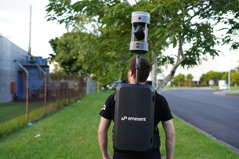
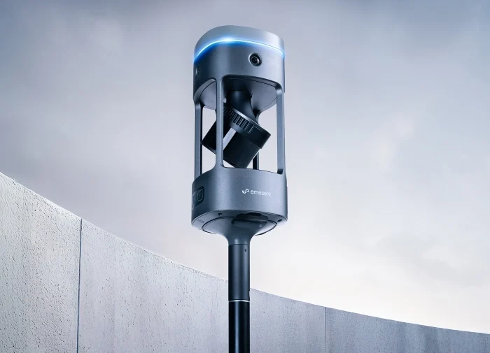
That is, unless your organisation has unlocked the potential of drone technology. The drones’ capture capabilities, coupled with the photogrammetry software to convert data into digital spatial models, has made it easier than ever before.
Surveyors around the UK are using drones to gather the data needed to make operations faster, safer and more cost-efficient.
To date, we’ve helped more than 1,000 organisations take to the sky. These big names, which include the likes of Costain, Pfizer and Can Group, have significantly improved their operational efficiency by adopting drone technology.

Why drones for surveying?
1. Happier road users, reduced disruption and lower costs
Traditional surveying methods require highways to be closed for several hours, disrupting the lives and businesses of road users. Typically a 10 km stretch of road can take 10 hours.
Drone-mapping missions can be completed in as little as 20 per cent of the time, without the need for closure and disruptions.
2. Smaller teams, smaller price tags
Having a bird’s eye view means surveys no longer need to be supported by large teams and expensive operators.
Instead, all that’s needed is a drone operator, a drone for surveying such as the DJI Matrice 300 RTK and a small team.
Ideally, a photogrammetry software expert would work with the team in the field. However, that doesn’t necessarily need to be the case thanks to the remote capabilities of software such as the Pix4DMapper.
3. Faster and more accurate
Traditional land surveying isn’t just time-consuming – it only accounts for assets within the team’s view at ground level.
Using a drone for surveying means the job can be done in a fraction of the time while providing the team with greater access, thanks to the outstanding visibility from above.
Safer surveying
Land-based surveying can be challenging for access. Dense vegetation and complex topography are associated with increased operational risks for traditional surveying teams.
Rather than work around obstacles, surveying using a drone eliminates these potential threats to surveying operations.
Reduced human error
Where humans are involved, human error can occur. When surveying discrepancies occur, it’s often due to carelessness, miscommunication, and/or fatigue.
By adopting drones for surveying, this danger can be eliminated. This is because there is no need for data entry. The smart software simply (and instantly) extracts the information it needs from images – including geo-tags to build models.
Kent takes to the skies: drones for surveying
In Kent, a local authority is trialling using drones for surveying on its road infrastructure. The pilot, which is funded by the Department for Transport and runs until November 2021, is being delivered by a highways and infrastructure specialist.
It’s hoped that using drones for surveying will enhance its service provision while keeping frontline staff safer than ever before.
Using drones for assistance with road investigations prevents the need for workers to be on site performing physical inspections while avoiding road closures.

Because they’ve upskilled the teams deploying the drones, it’s helped narrow the often-lengthy timeframe between an initial inspection and the completion of essential, remedial works using traditional surveying methods.
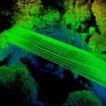
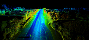
One of the biggest advantages of including drones within your road maintenance regime is that they can survey and record a huge area of the transport network from overhead in just a fraction of the time taken by traditional ground-based teams.
Advancements in drone camera technology mean users can rely on detailed images – accurate to within 5mm – taken from overhead and it’s allowed them to break new ground.
For the council, the pilot represents an “exciting opportunity” which will provide a greater understanding of roads and other assets. Prior to having this information at their fingertips, the council relied on reports submitted by road users online.

Get the full 360° solution using drones for surveying
Our solutions are making it easier than ever before for councils to make the transition to smart infrastructure asset management. Completely bespoke to your needs and budget, these include our Complete and Professional plans which include everything you need. If you’re looking at using drones for surveying, check out our packages below.
Complete Surveying Package
This provides you with everything you need to introduce a UAV survey solution to your organisation.
The package includes DJI’s smartest flying camera ever, the Phantom 4 RTK quadcopter and controller, as well as the extra batteries you need to keep productivity high.
At Coptrz, we recognise that any technology can only perform as well as its users, so this package includes the training needed to succeed. As well as GVC drone training, this solution includes a Commercial UAV Survey course.
The Complete Surveying Package includes a 12-month Pix4Dmapper licence to enhance your mapping capabilities, as well as a 12-month Network RTK licence for remote access.
Are you ready to adopt drone technology into your organisation?
We are excited to see how the project develops, in particular how using drones for surveying can prevent potholes becoming an even bigger issue. We have a wide variety of commercial drones with differing capabilities, as well as the expertise to understand the aims and scope of your project and the drones that will be suitable.
Our team are always happy to offer an in-depth consultation.
Sign-up for our free weekly newsletter below to never miss a story
Download Our FREE RPC-L1 Guide
Understand everything you need to know about moving towards commercial drone operations with our RPC-L1 guide.
- Understand what RPC-L1 is and who it is for
- Learn how the CAA transition impacts operators and training routes
- Get a clear breakdown of requirements, costs and next steps


Related Posts

What is a drone licence and do I need one?
Confused about the latest drone regulations? Are you confused about the new drone regulations that came into place in December 2020? Unsure of the differences between the A2 CofC, GVC or the new RPC-L1 drone licence? Don’t worry… Coptrz has got you covered. We have put together an eBook covering all of the information you need […]
Should you switch to drones? Historic England reveals all…
We’re pleased to announce that Gary Young, Geospatial Analyst at Historic England will be joining us at the COPTRZ Live Drone Demo Day 2020 on the 5th of March in Rugby. Championing England’s Heritage, Historic England has used drone acquired imagery since 2008 and has built up long experience of using such platforms alongside other […]

How can Drones Improve Solar Farm Inspections?
10 minute read In 2020, the SEIA (Solar Energy Industries Association) estimated a new solar energy system was installed every 75 seconds globally, and by 2023 the UK’s solar energy production is set to become 15,674 MW (3rd highest producer in Europe). According to 2020 figures, just under 500 solar farms are now in operation […]