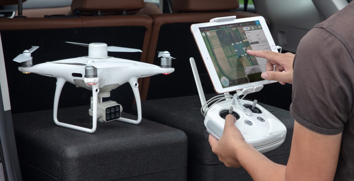
The P4 Multispectral is a fully integrated multispectral imaging drone designed for precision agriculture and environmental management. Combining data from six separate sensors to measure the health of crops, from individual plants to entire fields, as well as weeds, insects and a variety of soil conditions, the P4 Multispectral sets a new standard for easy-to-use agricultural drone applications.
Key Features
Precise Multispectral Imaging
The built-in stabilized imaging system collects comprehensive sets of data right out of the box. Access information collected by 1 RGB camera and a multispectral camera array with 5 cameras covering Blue, Green, Red, Red Edge, and Near-Infrared bands – all at 2MP with global shutter, on a 3-axis stabilized gimbal.

Integrated Spectral Sunlight Sensor
An integrated spectral sunlight sensor on top of the drone captures solar irradiance, which maximizes accuracy and consistency of data collection through different times of day. When combined with post-processed data, this information helps to obtain the most accurate NDVI results.

Live RGB and NDVI View
Seamless integration into the DJI Ground Station Pro flight planning app allows pilots to switch between real-time views of the drone’s RGB video camera and Normalized Difference Vegetation Index (NDVI) output for immediate insights while in the field.

Flight Performance
Pilots using multiple drone payloads during their operations can now calibrate the drone’s new centre of gravity with ease from the DJI Pilot app for better flight performance.

Data Accuracy
An integrated RTK positioning module and TimeSync system support real-time, accurate positioning data for each image, optimizing photogrammetric results and providing centimetre-level accurate measurements.

Compatible Software
Use DJI Ground Station Pro to create automated and repeatable missions including flight planning, mission execution, and flight data management. Data collected can be easily imported into DJI Terra, and a suite of third-party software.
Visit product page to reserve, available to buy and lease.
Download Our FREE RPC-L1 Guide
Understand everything you need to know about moving towards commercial drone operations with our RPC-L1 guide.
- Understand what RPC-L1 is and who it is for
- Learn how the CAA transition impacts operators and training routes
- Get a clear breakdown of requirements, costs and next steps


Related Posts

How Drone Data is shaping the future of Asset Management: Trendspek
We are proud to announce our latest partnership with Trendspek, Trendspek connects asset owners, operators and engineers, through a simple to use online platform. Form opinions, make decisions and reach outcomes faster by collaborating on a single source of truth. TRENDSPEK Trendspek is the drone data solution developed in collaboration with oil and gas supermajors […]

DJI Zenmuse L2 vs DJI Zenmuse L1: A Comprehensive Comparison
In the realm of aerial surveying and 3D data acquisition, DJI’s Zenmuse L1 and L2 stand as two pivotal models, each marking a significant milestone in the evolution of LiDAR technology. The Zenmuse L1, known for its robust integration of advanced Livox LiDAR, imaging, and inertial measurement technologies, set a benchmark in the industry. Its […]
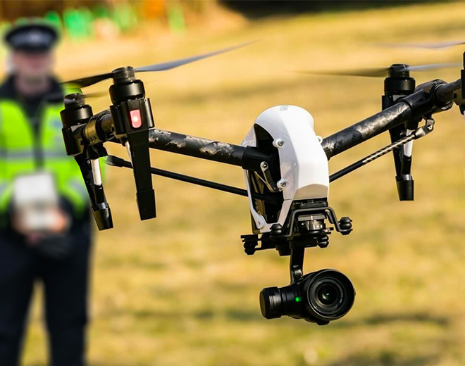
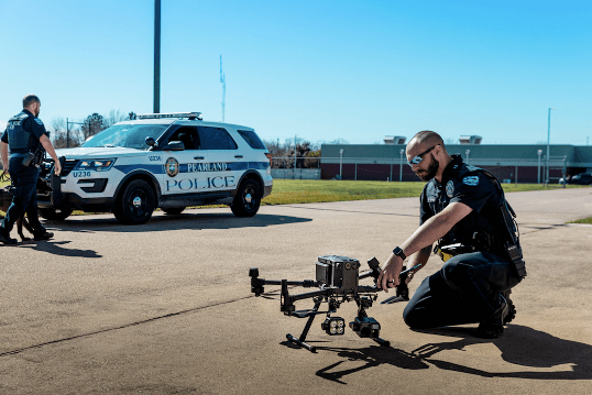
DJI announce Qualified Entities Programme for public safety organisations
DJI has announced the new Qualified Entities Programme (QEP) for their public safety clients across Europe. QEP will remove geofencing (NFZ and GEO Zones). It also removes altitude restrictions for all enterprise drones used by public safety organisations. These services include police, fire services, also, search & rescue, civil defence/protection, border/customs control and the coastal […]