The upgrades are expected to enhance the user’s experience with the following updates:
- Shorter response time
- Streamlined application process
- Improved customer experience
In addition, enterprise users can now apply for multiple aircraft unlocking with just the one request submission. You simply have to submit each aircraft’s model information, flight controller serial number and DJI account on the application webpage.
What is DJI’s Geospatial System?
DJI’s Geospatial Environment Online (GEO) is a best-in-class geospatial information system providing DJI users with up-to-date guidance on areas where flight may be limited due to safety concerns or regulations.
This provides DJI users with information that will help them make smart decisions about where and when to fly.
The GEO system is advisory only. Each user is responsible for checking official sources and determining what laws or regulations might apply to his or her flight. In some instances, DJI has selected widely-recommended general parameters (such as a 1.5 mile radius at airports) without making any determination of whether this guidance matches regulations that may apply specifically to you.
DJI have stated that they hope these improvements will allow more authorised organisations to better incorporate drone technology into work in times and places of need.
Read more from COPTRZ News:
- DJI announce Phantom 4 Pro+ v2.0 and care refresh update
- FAA announces new drone restrictions
- Department for Transport layout amendments to the Air Navigation Order 2016 in Parliament
- New drone rules approved by MEP’s
Download Our FREE RPC-L1 Guide
Understand everything you need to know about moving towards commercial drone operations with our RPC-L1 guide.
- Understand what RPC-L1 is and who it is for
- Learn how the CAA transition impacts operators and training routes
- Get a clear breakdown of requirements, costs and next steps


Related Posts

The DJI Enterprise Drone Buyer’s Guide
Whether you’re a CEO or a manager, this guide is the perfect starting point to explore the benefits of DJI’s Enterprise range of drones. By leveraging drone technology, you can enhance precision, increase efficiency, and make informed decisions that drive your business forward. Dive into our expert insights, practical applications, and in-depth analysis to discover […]
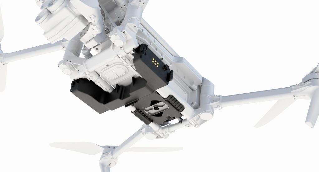
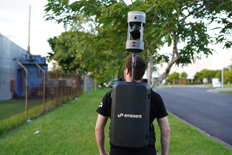
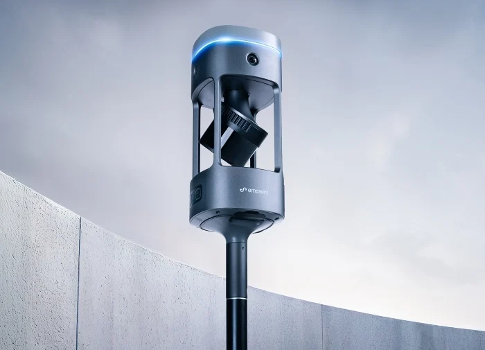
Coptrz Launches Tundra’s Modular Payload Platform in the UK
Coptrz has announced an exclusive UK distribution partnership with Norwegian deep-tech company Tundra Drone, bringing the world’s first standardised modular payload platform for professional drones to UK defence, public safety, inspection and search and rescue operators. The partnership positions Coptrz as the sole UK reseller of the Tundra system, delivering a NATO-aligned, non-Chinese payload ecosystem […]

DJI Modify Tutorial: How To Use DJI’s 3D Model Editing Software
The launch of DJI Modify marks a significant milestone in the world of drone technology and 3D modelling. This highly anticipated release, especially with its offer of a free 6-month public beta license, has created a buzz among enthusiasts and professionals alike who are eager to explore the capabilities of this new software. DJI Modify […]