10-minute read
Surveying with a drone offers enormous potential to Surveyors and GIS professionals. With a drone it’s possible to carry out topographic surveys of the same quality and as accurately as traditional techniques, but at the fraction of the time and cost.
But when it comes to getting an internal drone program up and running on your sites, it can seem daunting if you’re unsure of how to start. Before we dive in, you might be wondering why you should start using drones for your surveying projects. It’s simple if you follow these 5-steps:
Step1: Define your project
Step 2: Get your training
Step 3: Choose your Hardware
Step 4: RTK Licenses
Step 5: Post processing & software
What are the benefits of drone surveying?
When you switch from traditional base-and-rover surveying to drone surveying on site, you’re setting up your team and client to make better, data driven decisions. The efficiency of drone data capture allows you to shave days or weeks off a typical surveying workflow. From data capture to post processing, drone-based workflows are designed to give you the best possible insight in an easily repeatable way.
Drones can also massively improve safety, by reducing the number of personnel needed to walk a site or access dangerous areas such as construction sites.
Furthermore, drones can be cheaper and simpler to use than traditional surveying equipment. A simple drone surveying setup can cost a fraction of what a traditional surveying setup would cost, while also being cheaper than outsourcing to infrequent third-party surveys. Your site can then be surveyed as often as you want, allowing you to update your data as often as you want to fly.
So, let’s dive in, we’ll take you through the 5-step process, which by the end you should feel confident in knowing exactly what you need to start surveying with drones.

Step 1: Define your project
When adding drones to your operations, it’s important to start with the end in mind. While drones can provide numerous benefits to surveyors, they’re not necessarily the right tool for everyone.
Additionally, drone surveys shouldn’t be done by anyone. If a scan isn’t done by a trained professional, the drone can return inaccurate, incomplete, or erratic results. It’s also important to understand the capabilities of drones in relation to subject of your survey, as drones are restricted in certain airspaces and in the UK, visual line of site (VLOS) is always required.
Drones excel at providing a fast and cost-effective method of completing surveys, yet they can all provide different benefits for the user.
Is your survey area going to be highly vegetated? Then LiDAR may be more suitable.
Need unbeatable image quality? Photogrammetry would work best.
Are you scanning for 3D purposes? Then a downward facing camera might struggle.
These are all questions that need to be answered and researched before you decided if drones are right for you, and what drone is best suited to your needs. Thankfully for you, the Coptrz blog is full to the brim with guides and articles to help you decide. Blogs to find out more.
Step 2: Get your training
A drone is a type of aircraft, whether big or small. All unmanned autonomous vehicles (UAVs) are regulated by a country’s aviation authority. The rules differ between countries, but you can expect at least some kind of drone classification and licensing, certification for piloting when it comes to commercial use.
There are some great websites and apps such as droneregulations.info which can give you much of the information you’ll need before flying in a certain country.
When it comes to the UK, the Civil Aviation Authority or CAA manage the flying of drones both commercially and recreationally. Commercial drone operations in the U.K. require permission from the CAA, and insurance is required for all commercial operations.

As of the 31st of December 2020, If your drone is over 2kg, or if it’s between 250g-2kg and you need to overfly uninvolved people then you are going to need an Operational Authorisation from the CAA.
To get an Operational Authorisation from the CAA, you are going to need to firstly get a General Visual Line of Sight Certificate (GVC) from a company such as ourselves.
To get a GVC, you will have to do an online theory course followed by an online invigilated examination. You will need to have an Operations Manual (this is covered as part of the course) and you will need to do a Flight Examination with your drone.
Once you’ve completed the modules of the course, you’ll be awarded a GVC which will be valid for 5 years. You can then send your GVC and your Operations Manual to the CAA to apply for the Operational Authorisation which will allow commercial operations. This costs £253 to the CAA and it must be renewed annually.

Step 3: Choose your Hardware
Choosing the right drone for the job is possibly the most crucial part. Your choice in drone defines your mission capabilities and the data you’ll be capturing. We’ve written several useful blogs linked below to get you started, but for a crash course in commercial drones for surveying stay right here.
LiDAR Versus Photogrammetry blog
A Beginner’s Guide to LiDAR Surveying blog
What To Look For In Your Photogrammetry Drone blog
To begin with, there’s your drone, the part of the hardware that does the flying. This can come in numerous shapes and sizes, whether it be small like the Phantom 4 RTK, Larger like the Matrice 300 RTK or fixed wing like the Wingtra One. While budget will define your choice in drone, it’s important to consider what you need from the drone, whether that be long flight times, oblique imagining, payload versatility or ease of use, are all factors to be considered.
While different drones dictate different mission parameters, your choice in payloads determines the kind of data you’ll be capturing. There are three main categories of payloads for surveying drones:
Photogrammetry in its essence is the capture of many high-resolution images over an area. These images overlap such that the same point on the ground is visible in multiple photos from different angles and vantage points. This works in a very similar way to how the human brain stitches the images from both eyes to create depth perception. When considering a photogrammetry payload, you’ll want to consider the number of Megapixels, optical resolution and whether the shutter is mechanical or electronic.
Key products include:
LiDAR works by firing lasers towards a subject, which is the calculated based on the time it takes for the light to be reflected. Where photogrammetry stiches together pixels, LiDAR collects ‘points’ which are used to create a 3D representation. When comparing between LiDAR payloads you’ll want to consider the pulse rate, or number of lasers emitted per second, as a higher number will indicate a much denser point cloud, giving surfaces more detail.
Key products include:
Specialist payloads extend beyond the main two categories of Photogrammetry and LiDAR such bathymetry, sonar, metal detection and methane detection. While less widely used, these payloads extend the usage of drones beyond purely optical means, supporting processes such as construction and site safety.

Step 4: Get an RTK License
Real Time Kinematic (RTK) is a GPS correction technology technique that provides real-time corrections to location data as the drone is surveying and capturing images from a site.
Many of the drones sold for surveying purposes will include an RTK module, such as the Phantom 4 RTK and Matrice 300 RTK, while some drones have the option for an additional RTK attachment like the Mavic 2 Enterprise Advanced.
An RTK module gives your drone a precise centimetre accurate way of measuring its location, meaning any data captured is geotagged and can be processed later in relation to provide detailed 3D maps.
Getting an RTK License is as simple as purchasing a plan and SIM card from a provider such as ourselves. Plans only differ on the number of hours you expect to fly, so for heavy users, a bigger plan with more data would be suitable.
If you’re unsure of whether you need an RTK License, we do offer a free 15-day trial to give you option to try it out.

Step 5: Post processing & software
Adding drones to your operations gives you the power to collect incredible data. However, without the correct software, you’ll be stuck with raw data files which will give you limited information.
Software such as Pix4D, DJI Terra and Nira give you the tools to transform your raw images & LiDAR points into insightful 3D maps. The following industries are just a few which benefit significantly from using post-processing software:
Land Surveying
Land surveyors are an obvious beneficiary of aerial mapping. Their job is to take precise measurements on pieces of land in order to determine boundaries. The data they collect assist in the creation of maps, plots, and legal documentation. With maps as a crucial part of their job, there is no doubt that drone photogrammetry can be helpful to their profession.
Surveyors can obtain a highly accurate map with photogrammetry that can easily be turned into a 3D topographic map with contour data—a process that used to be extremely tedious.
With their expertise and the possession of high-quality equipment like RTK GPS units, surveyors can produce extremely accurate maps for their clients, and the efficiency drones provide helps them to expedite their workflow and improve their bottom line.
Mining
One industry that is already embracing mapping by drone is the mining industry. Up-to-date and detailed maps are used to manage stockpiles, water drainage, erosion detection, and pit and dump management among a host of other uses. Constantly updated maps can give managers better situational awareness that can assist in decision making.

Inspection
As you probably already know, inspection is becoming an important part of the UAS industry. Drone pilots primarily use cameras to visually inspect equipment, but photogrammetry can also assist in inspection.
On a small scale, drones can help create a detailed map of a roof, and RGB and IR sensors can help to detect areas with leaks or poor insulation coverage. On a bigger scale, for example, the energy industry can use aerial maps to inspect solar farms, spotting problem spots in the solar panels with the aid of infrared imagery.
Agriculture
The industry with the most potential for drone mapping is agriculture. Currently, agriculture is forecasted to be the largest use case overall for UAS. Maps give farmers the power to quickly analyse their crops and provide crucial data to guide decision making.
Using NDVI imagery, a farmer with proper training can determine the health of his field and make important decisions in real time. Instead of walking the whole crop or traversing the field with a tractor, a drone can semi-autonomously produce a map and point out areas of trouble. This means that those in agriculture can save time, increase crop yield, and ultimately, improve their bottom line.
We’ve written a handy blog on our top 5 drone software for 2022 to help you get a better understanding of what’s available in the market. Read Top 5 Drone Mapping Software.
What’s the next step?
congratulations you’ve reached the end of the blog, but what next? Well a good place to start would be downloading your free copy of the Surveying Guide which is full of everything you need to know about the use of drones in surveying.
Plus! If you’d like to see our latest case studies, reports and data sets you can get free access to our Surveying Resource Centre HERE.
Download Our FREE RPC-L1 Guide
Understand everything you need to know about moving towards commercial drone operations with our RPC-L1 guide.
- Understand what RPC-L1 is and who it is for
- Learn how the CAA transition impacts operators and training routes
- Get a clear breakdown of requirements, costs and next steps


Related Posts
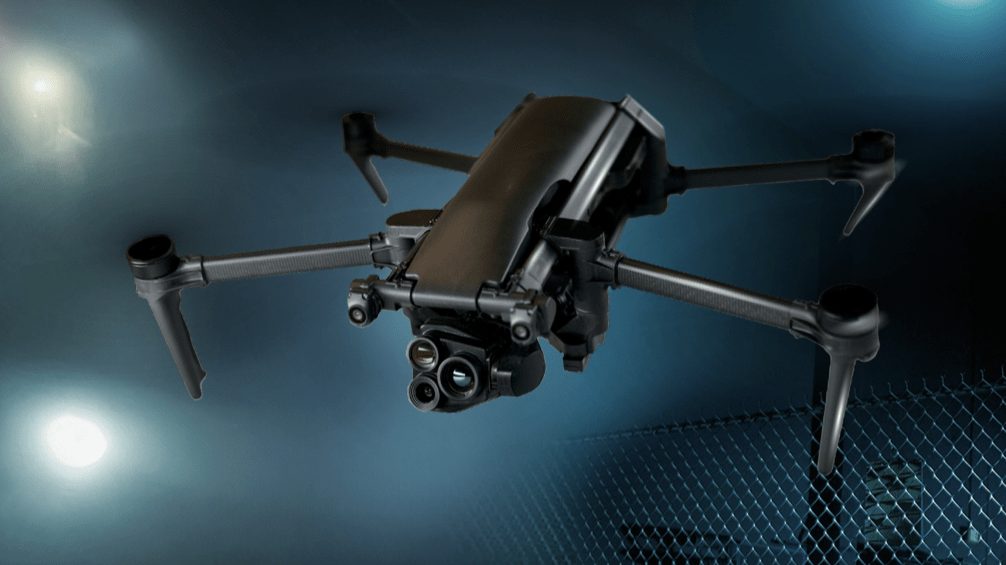
Military Drone Reconnaissance: Tactical Applications in 2025
At the heart of the evolution of modern warfare and defence strategy lies the growing role of military drone reconnaissance. Military reconnaissance drones often referred to as Intelligence, Surveillance, and Reconnaissance (ISR) drones are specifically engineered to meet the exacting standards of the armed forces. These platforms integrate imaging sensors, long-endurance flight capabilities, and secure […]

How can local councils use drone technology?
Local councils are responsible for delivering over 800 services, with duties ranging from waste management to social care. In fact, councils have a statutory liability to meet the needs and demands of individuals or communities. Under these responsibilities, council staff are required to not only deliver on their demands, but to also do so in […]

Top Collision Avoidance Drones
Collision avoidance systems used to be reserved for expensive commercial and military drones. However, as the sensors become more affordable, we are starting to see the technology on more accessible light domestic drones. The first light consumer drone with sonar obstacle detection came on the market about three years ago. They offered a single plane […]